
We may be issuing this outlook a month early, but a clear pattern is in place: A Super El Nino. What does this mean? Over the past few days a strong coastal low formed just off our coast and will move up into the Northeast this weekend. The beginning of an active wet pattern is beginning, and will likely persist into the winter.
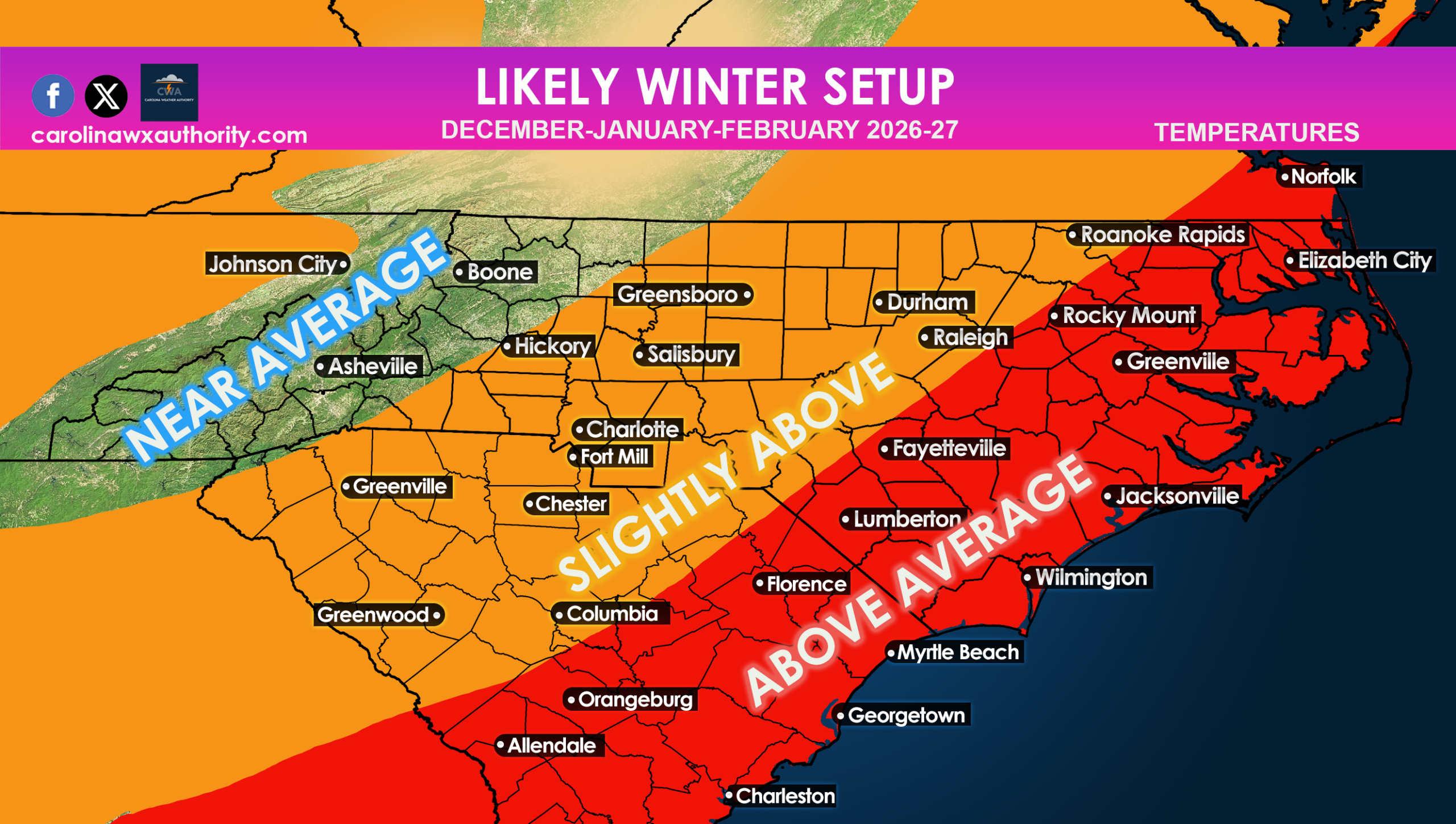
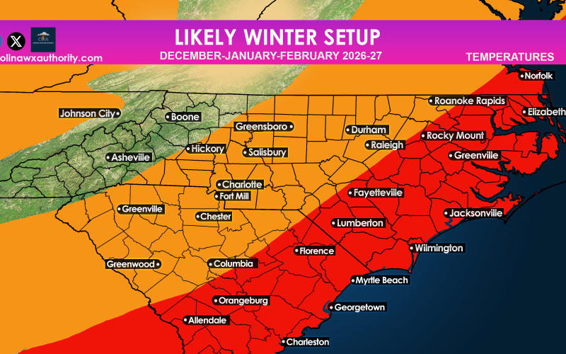
While the pattern will remain wet and stormy, this does not guarantee intrusions of Arctic air, so cold and snow may be just out of reach for our area. As expected during a super El Nino, a big area of warmer and humid air will keep pushing into our region through the southern branch of the jet stream. This will favor overall mild temperatures. There will be some shots of Arctic air at times, but they will be transient and short-lived. Pacific air will likely flood the Southeast.
What about overall precipitation?
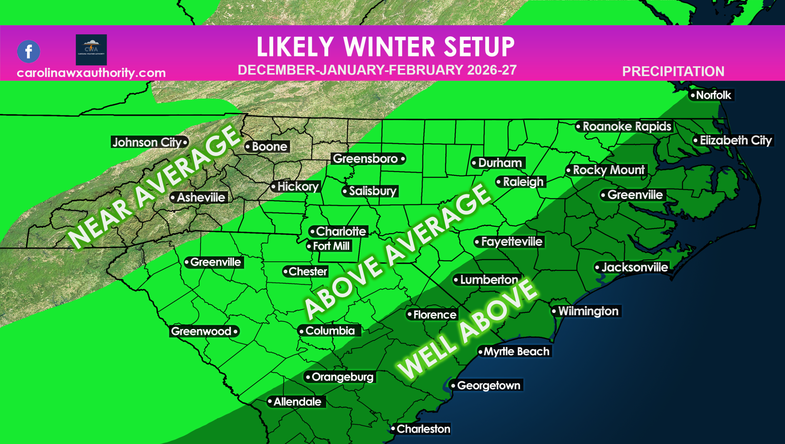
As we just saw over the past few days, coastal storms will start to be more common for our area. This means an increase in rain, especially along the coast, and still above average cold rain inland. The mountains will hover just around average, and the mountains may even still get snow in the higher elevations. It may be tough to get snow outside of there, however.
That being said, a snowstorm is not out of the question, or even some ice. However that trend will not likely be for us this winter, and I don’t expect we will be as cold or snowy as last winter. I don’t think the Piedmont will get a foot of snow like we did at the end of last January.
It will just be a typical southern winter, mild, and rainy, but the rain could be in excess this year, and flooding will result.
Mike
Carolina Weather Authority

You must be logged in to post a comment.