
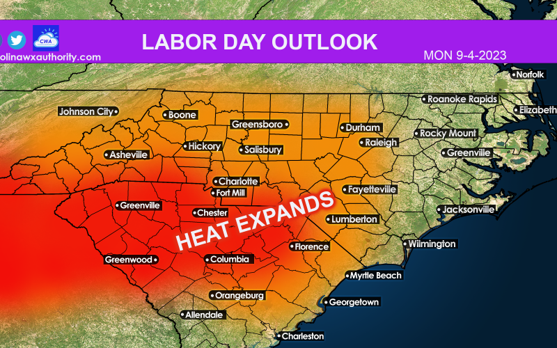
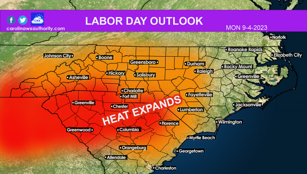
A large-scale area of high pressure is taking shape, and will start to move into our area Monday. This means that temperatures will start to soar. There will be some upper 90s readings this week across places like Charlotte. Another heatwave is underway.
Below are the expected highs for Monday. Readings will start in the low 90s and will increase this week. So avoid the hottest part of the day if possibly by staying in a/c. Consult your local NWS for all heat-related safety info.
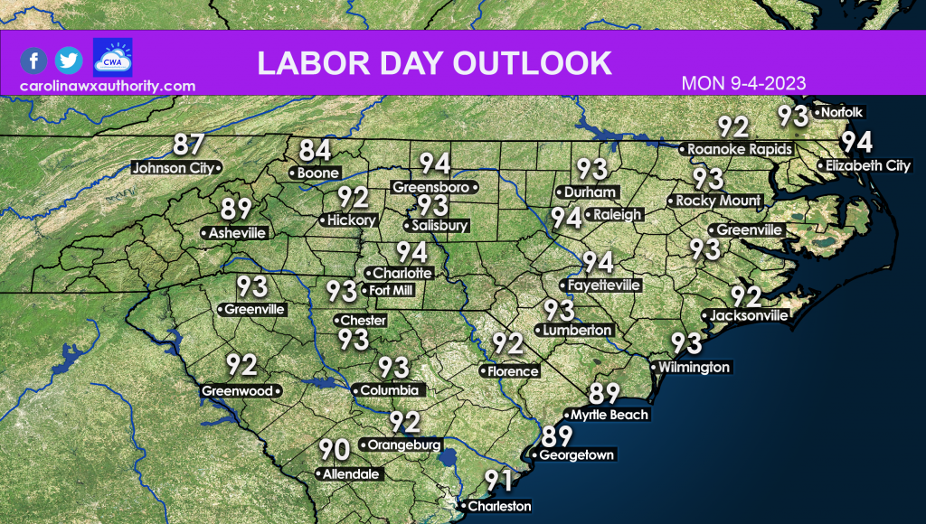
Anything 91 degrees F or above offers the potential for heatstroke or heat exhaustion, so limit time in the sun! This goes for the rest of this week also. It looks to be a hot one.
The pool might be your friend!
You must be logged in to post a comment.