
The threat for flooding up and down the east coast has been amplified for the rest of the week. An onslought of moisture will overtake the region through the weekend. With the already battered Northeast and Mid-Atlantic cleaning up after yesterday’s severe weather event, more wet weather will affect the East Coast through the weekend, flooding rivers and roadways.
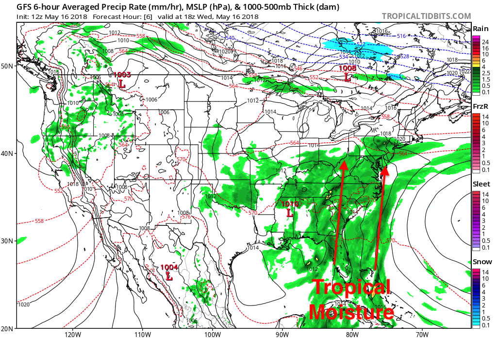
The consistent push of wet weather is due to the system that brought over half a foot of rain to places in Florida. The slow moving system is sitting over the Southeast and moving tropical moisture all the way north into New England.
GFS MSLP & Precipitation Type for 18z WED May 16th, 2018:
We will not experience a break in the action along the East Coast until the beginning of next.
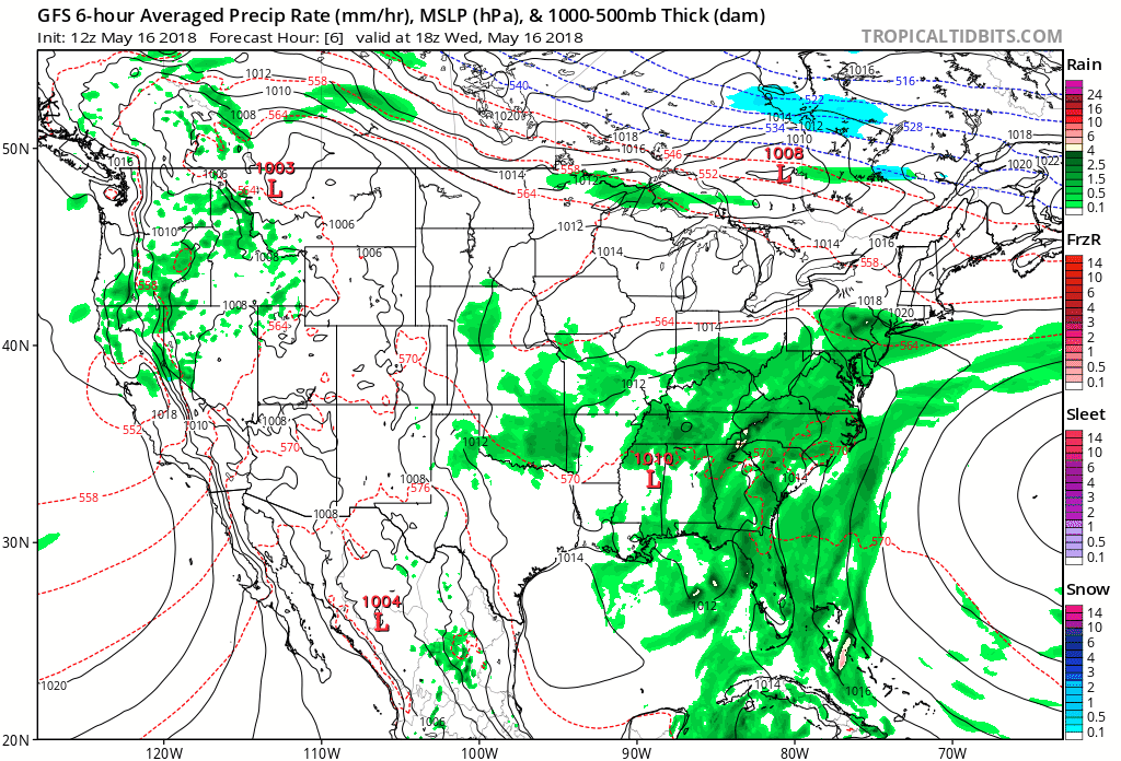
GFS MSLP & Precipitation Type Loop from WED May 16th, 2018 Until MON May 21st, 2018:
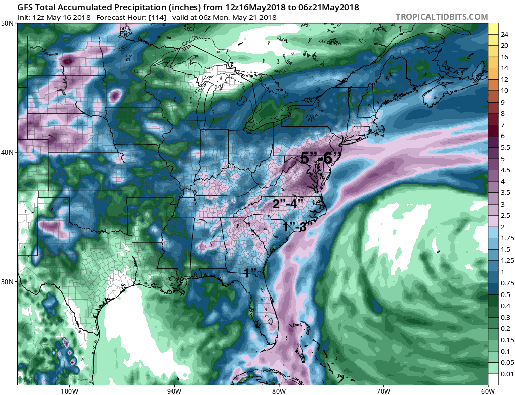
With the continued northward forcing of this tropical moisture over the next 5-days, places along the East Coast could see upwards to 6 inches of additional rainfall.
GFS Toal precipitation Until MON May 21st, 2018:
We will not be seeing any substantial clearing until the middle of next week when the pattern begins to shift to a drier solution along the East Coast. Stay here with us at East Coast Weather Authority as we get you prepared for what mother nature has to bring.
-Alex B
You must be logged in to post a comment.