
This is only the Arctic front passing through, and the GFS is most likely in error over the snow output it recently has been doing. This is because of the extremely cold air on the backside of the front moving through. Therefore the model thinks that it will be wintry precip. What mostly will end up happening is rain, and even some storms since it will be very warm ahead of the front. This would also mean the ground would be warm and thus nothing would stick anyway. Now, for the mountains, especially the NC ski resorts, this could be great news. However, anything falling east of the mountains is very unlikely come the 8th or 9th. We are not saying it is going to snow. Most people will experience rain and then very gusty northwest cold winds after.
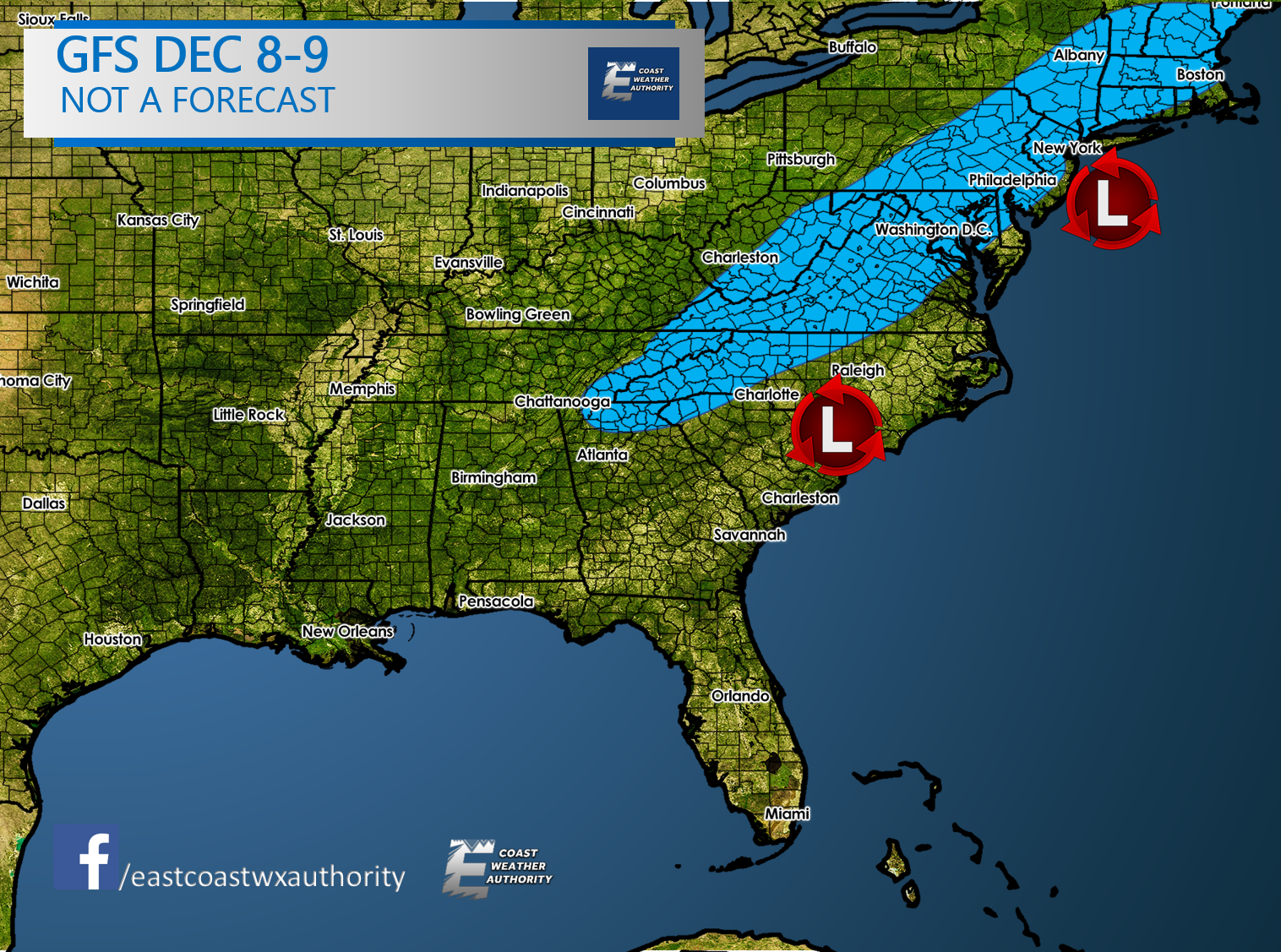
The GFS model itself, I believe has gone overboard and way overdone with it’s snow output.

I am including the latest long-range video outlook. This was just uploaded Wednesday night 11/29/17.
In other words, don’t panic, especially here in the South! It is VERY hard to get snow any time of year, let alone early December. But one this is for certain, it will get COLD!
-Mike G.
You must be logged in to post a comment.