
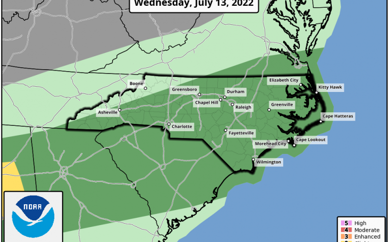
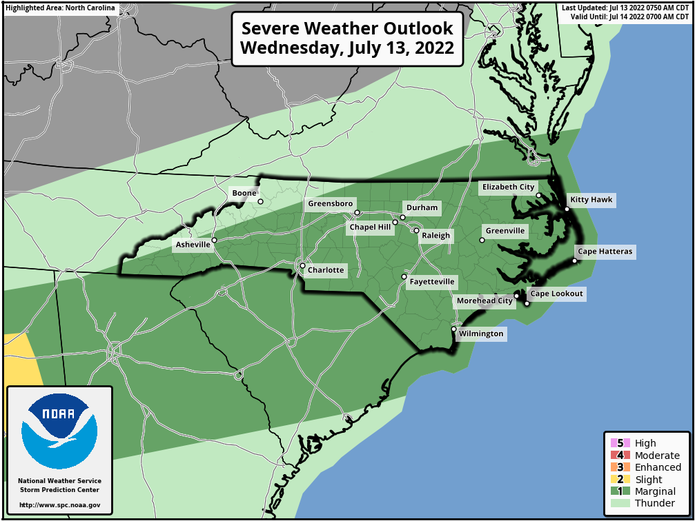
Some severe storms are possible today across the Carolinas this afternoon, which could bring damaging winds and hail. A tornado is possible, however this time of year storms tend to have more straight-line winds and hail, which can be just as dangerous in some cases. Have a way to receive alerts today and watch for threatening skies.
Below is todays severe outlook for NC, which is a 1/5 Marginal outlook. That does not mean that severe storms will not happen. In fact, we see many severe storms during Marginal outlooks.
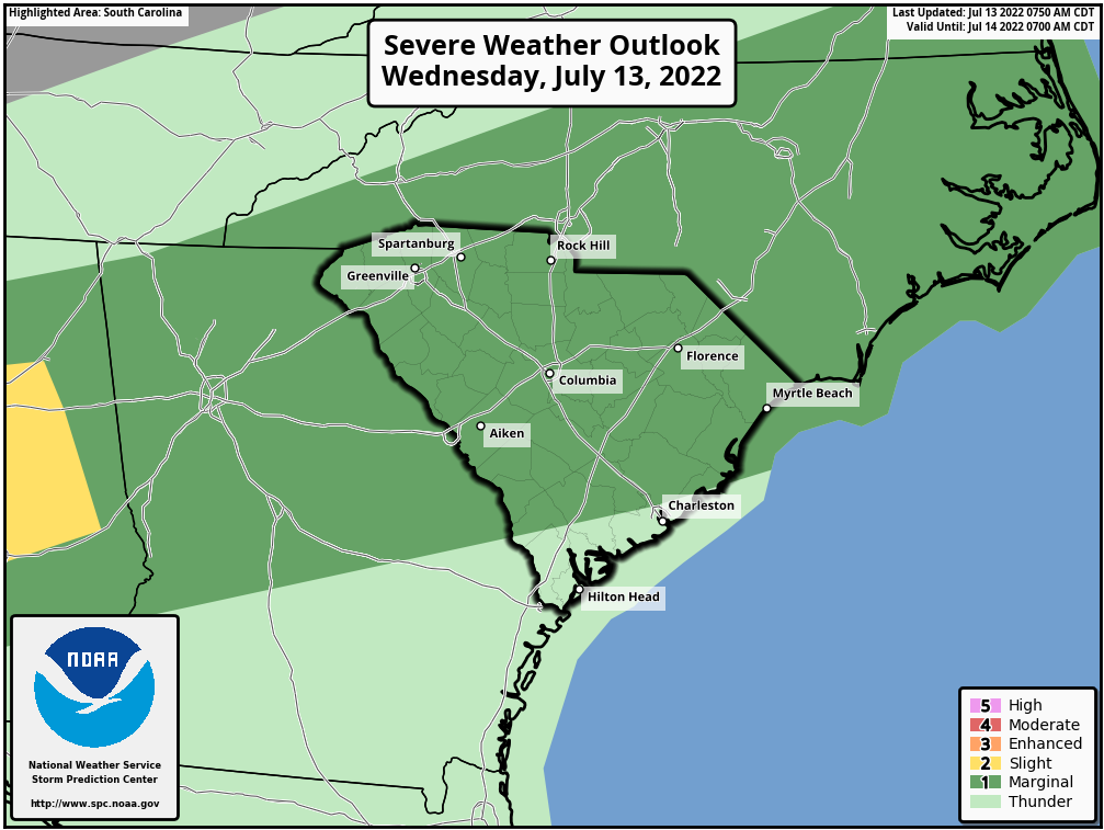
Below is for SC:
As far as the rain forecast, we’re not sure if it will be as heavy as originally forecasted over the next 7 days, as our tropical disturbance in the Gulf does not look to organize.
Instead, we can expect hit-or-miss showers and storms over the next week, but the rainfall totals don’t look to be as much. The rain forecast that we posted on the page could be a bust.
This weekend looks like it could be unsettled, below average temperatures, and hit-or-miss showers. Clouds could keep temperatures down. However, it could also be a preview of fall, with partly cloudy skies and below normal temperatures. The forecast for this weekend is tricky, but the cooler temperatures look to be consistent. Most likely we will see near normal rainfall across the board.
CWA
You must be logged in to post a comment.