
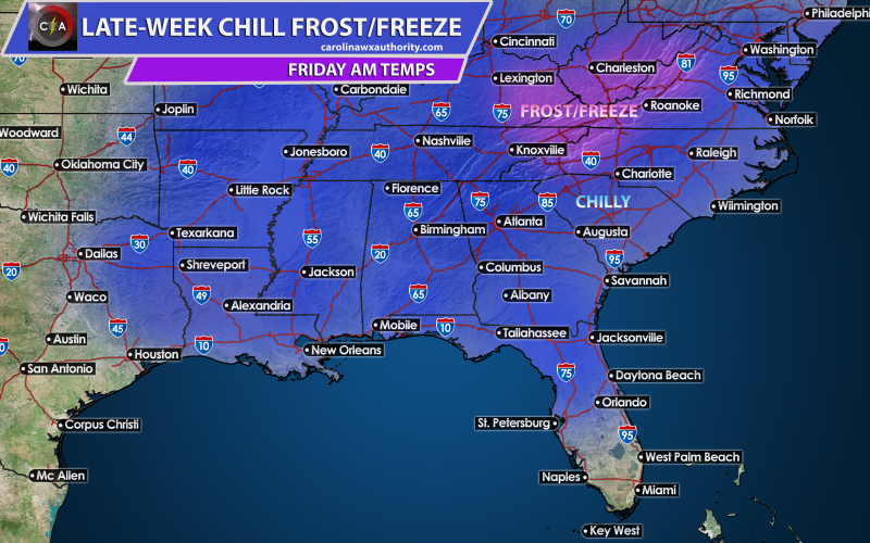
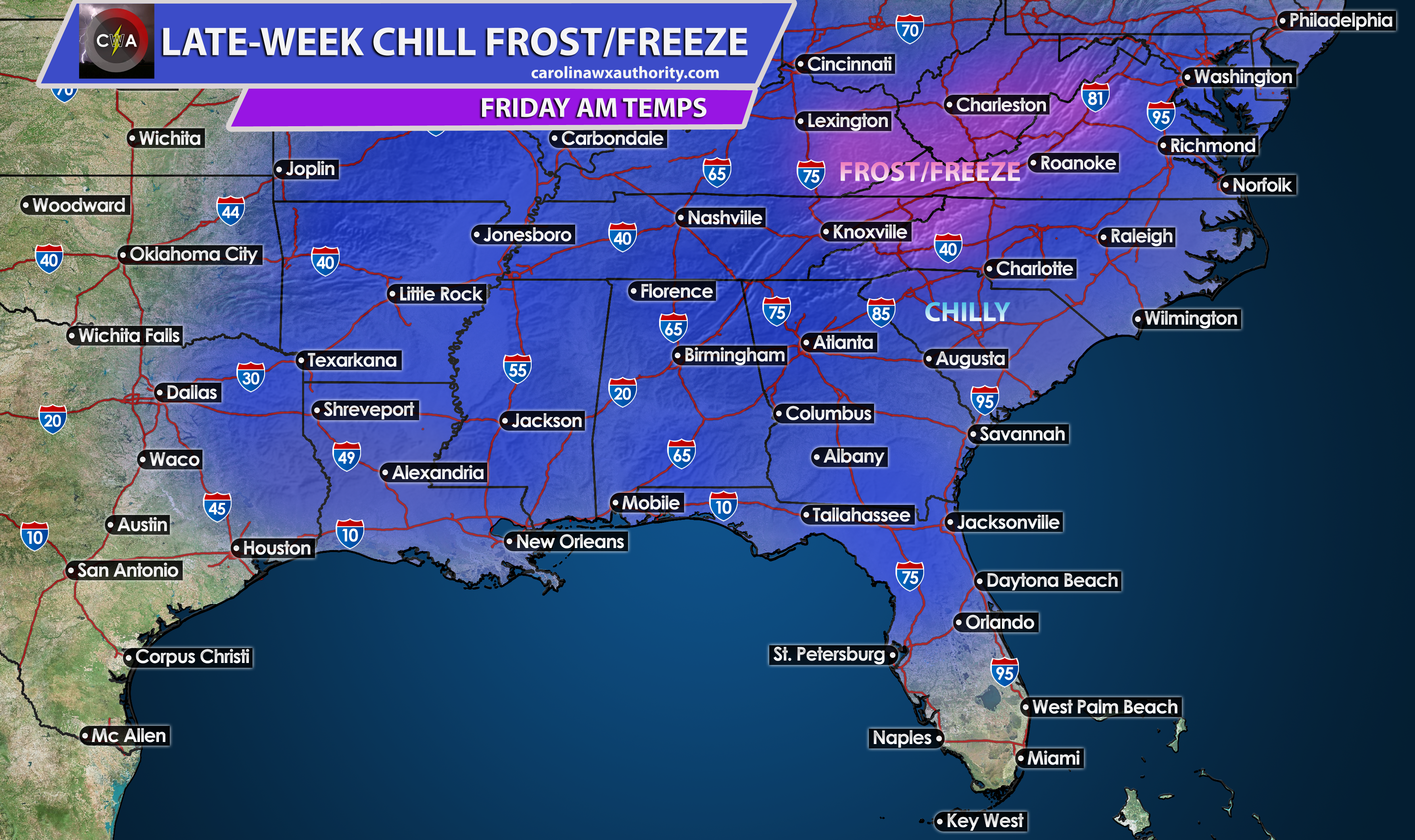
SOME AREAS TO EXPERIENCE FIRST FROST/FREEZE
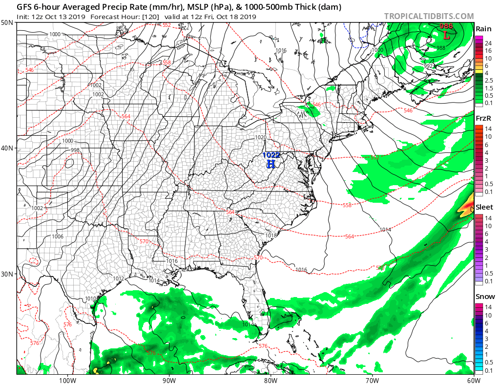
Another powerful cold front will sweep across the central part of the country this week, potentially causing a severe outbreak in the Plains. This system will then combine with a disturbance from the south, and will spread rain across the Southeast once again Tuesday into Wednesday. This is another much welcomed event. By Thursday this event clears out, and we will have some lingering clouds perhaps, then clearing. The temperature behind this departing system will plummet overnight Thursday into Friday, and some locations could get their first freeze of the season as high pressure settles in. This is a fairly strong high but nothing unusual.
The mountains are the locations likely to see their first freeze, and also frost could extend to areas around the edges of the purple. In the blue, we will be looking at morning lows mainly in the 40s. This will be a decent cold shot since it looks like the lows will be close to the same Saturday morning.
The chill begins on Thursday morning, with lows in the Carolinas in the low 40s, and upper 40s closer to the coast. More of the same for Friday except it could be a tad bit chillier. Thursday, Friday, and Saturday coats will likely need to be worn if you are heading out early.
Yes this is the time of year when it’s cold enough in the morning for a coat, but then too warm for it by the afternoon. Welcome to the South!
Check out our models page to follow along with all the latest info! https://carolinawxauthority.com/models
You must be logged in to post a comment.