
A Clipper system will move across the Northern Plains on Monday, and will skate across the Northeast on Tuesday. Generally, light amounts are expected, a dusting to an inch, otherwise amounts could be in the 2-4″ range if the storm develops a secondary low off the coast. This is not expected to be a crippling snowstorm.
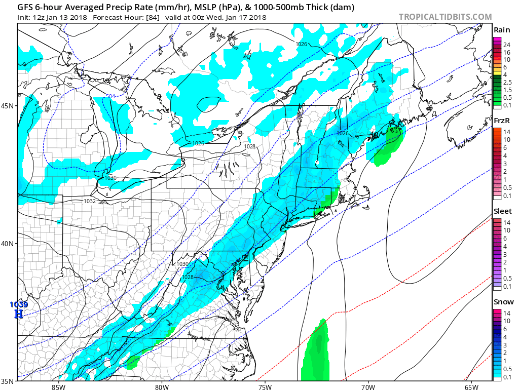
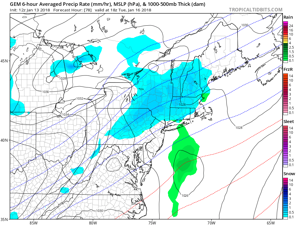
The GFS has slightly more amounts of snow and sleet (1st image) compared to the Canadian (2nd image). Therefore, some discrepancies in exact amounts exist.
Click any image for larger version

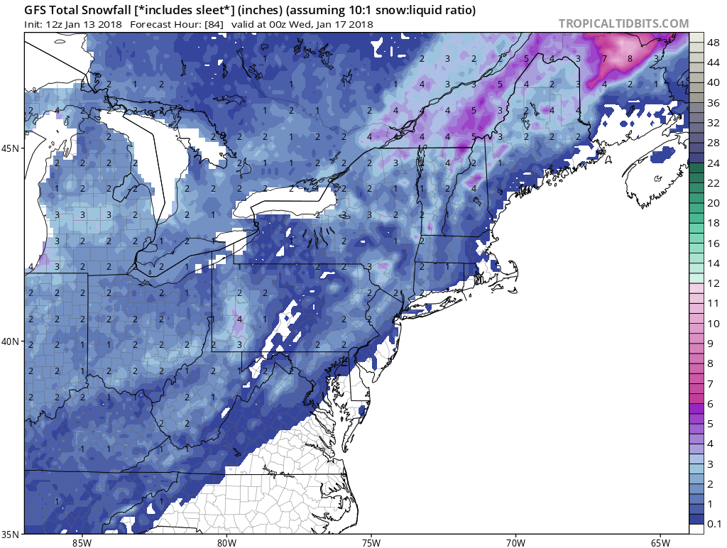
This could only be a momentary snowfall for Philly and the suburbs. The GFS does not have much moisture to work with overall for this system. The Canadian has even less, which makes for an uncertain forecast as far as snow amounts.
The confidence for snow in Southeast PA is low. This storm will not have much moisture to work with, and could be offshore by the time it has a chance to develop.
Sign up for our premium services today for more inside info >>> Click Here to Subscribe
Mike G.
Meteorologist
East Coast Weather Authority
You must be logged in to post a comment.