
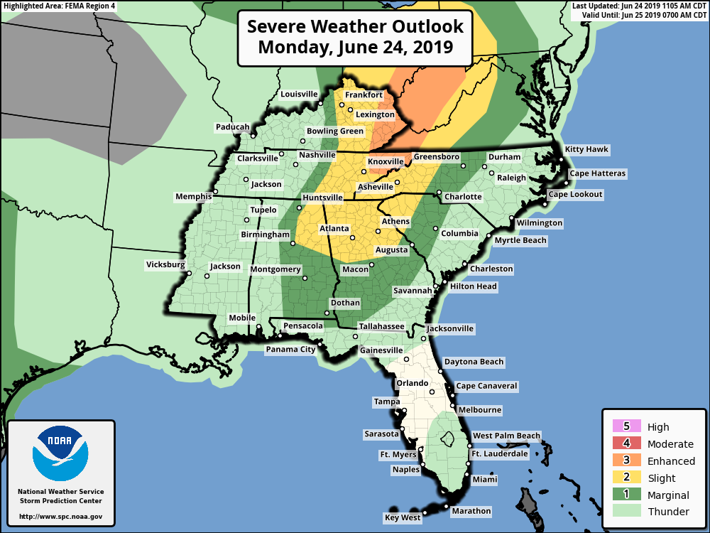
A line of storms with an associated cold front will move east across the region this evening with the potential for severe weather in mainly the western half of the forecast area. According to the Storm Prediction Center, areas such as Boone, Asheville, and Hickory North Carolina as well as Greenville/Spartanburg, South Carolina have been put under a “Slight” (level 2 out of 5) risk for severe weather. Areas like Greensboro and Charlotte, NC down to Columbia, SC remain under a “Marginal” (level 1 out of 5) risk for severe storms. Eastern areas may see showers and storms tonight, but little to no severe weather is expected.
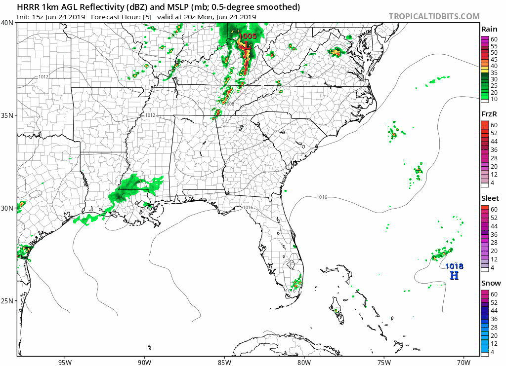
Main threats with storms would be high wind gusts, heavy rainfall, and dangerous lightning. Storms should move through in the early evening to late evening time frame for most. Check out this progression from the latest HRRR radar loop:
Stay tuned for any possible watches or warnings and make sure to download our free weather app available for all Android platforms and hopefully coming soon to IOS users! https://carolinawxauthority.com/mobile-app/
-Jesse
East Coast Weather Authority
You must be logged in to post a comment.