As we have just experienced the coldest morning of the season today, there is more chill on the way. Temperatures will rebound slightly by the end of this week, but then temperatures drop once again this weekend. It’s almost as if we are experiencing winter temperatures in December! We certainly will be, and there is no sign of sustained warmth, at least over the next 10 days.
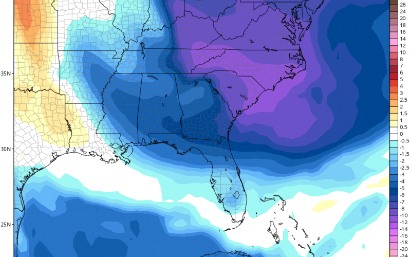
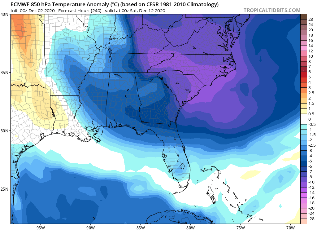
The Euro is showing cold for this weekend, and also into next weekend on the 12th. Below is the Euro showing our departure from average at day 10:
This is just indicative of what we can expect with the pattern over the next 10 days. Also, we are in an active storm track. We could see a couple of winter storm possibilities, however it’s too soon to say any of the details. Two pieces of upper-level energy seen below on the model image, one over the Plains and the other over Texas, could merge off the coast early next week and give us a coastal storm. This is looking like rain for the Piedmont and possible flakes for the mountains.
We will know more as this system approaches, but for now we are in an ACTUAL winter-like pattern, with no sustained warmth in sight!


You must be logged in to post a comment.