
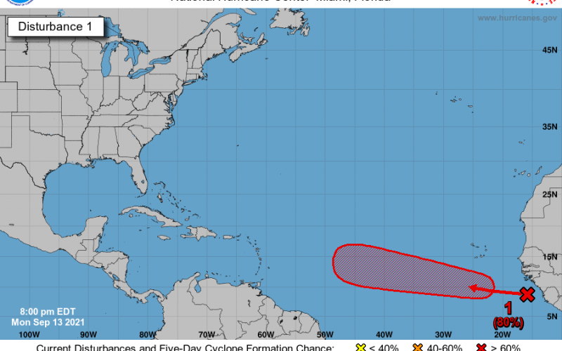
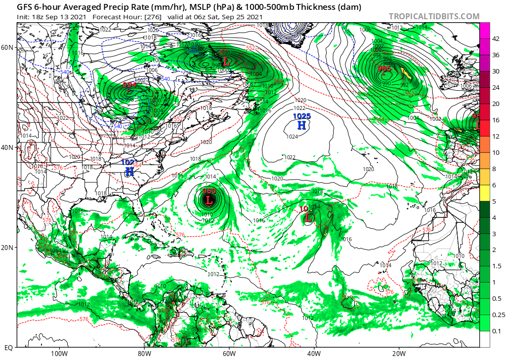
There is a spot in the far Atlantic that has an 80% chance for formation over the next 5 days. It is still too early to determine if this storm will be an East Coast threat or not, but we will have to keep an eye on it. The GFS takes it out to sea as a hurricane, possibly affecting Bermuda on its northward turn.
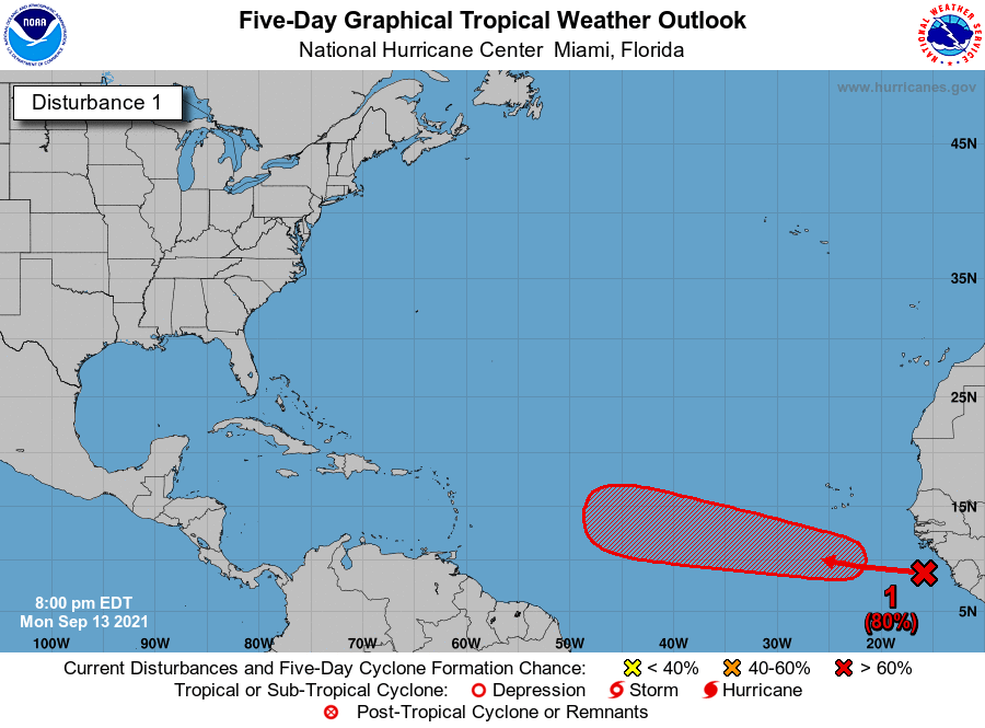
1. A tropical wave located over the far eastern tropical Atlantic is
producing an area of disorganized cloudiness and thunderstorms.
Environmental conditions are forecast to be conducive for gradual
development of this disturbance over the next several days, and a
tropical depression is likely to form by later this week while the
system moves westward at about 15 mph across the eastern tropical
Atlantic Ocean.
* Formation chance through 48 hours...medium...40 percent.
* Formation chance through 5 days...high...80 percent.
This storm will need to be monitored in case the GFS below is incorrect with the idea of an out-to-sea storm.
Closer to home, there is a spot just offshore that has a 50% chance of development over the next 5 days. This system is expected to stay offshore with higher certainty.
During tropical season, it pays to keep up with the constant changes in forecasts. Please consult the NHC and NWS for local official information.
You must be logged in to post a comment.