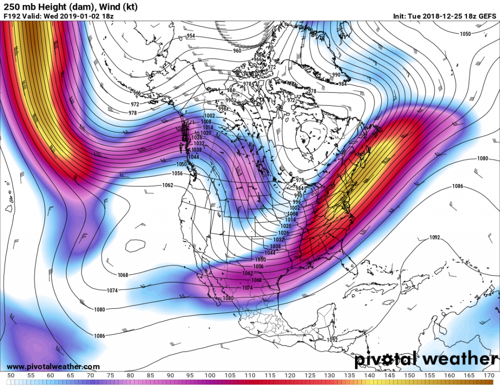
The upcoming pattern after New Years, directly after, is a snow lover’s delight, especially for the South. There is no guarantee that this event will either be rain or snow, but it looks like some kind of storm system will traverse the Southeast around the 2nd. The Pacific jet stream buckles before it reaches the West Coast into split flow. This means a disturbance can enter the southern US and move east, and at the same time a disturbance can move out of the northern stream bringing colder air with it. Who gets rain and who gets snow is not clear yet. We just know that on or around the 2nd of January 2019 is something to watch. Even the strength of the system is not known yet, other than something is “there.” Following this potential storm, the Arctic gates open up sending some of the coldest air of the season southward. January could be a very cold month for many.
Everyone have a Merry Christmas, and we will update on this potential East Coast threat this week.


You must be logged in to post a comment.