
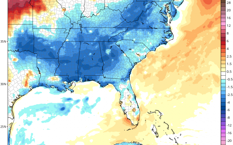
Well, the cool weather lovers could be in for a temporary treat next week. It will rain at times this weekend, and then a trough will push in from the west and take all the rain with it. From Tuesday night into early Wednesday, temperatures will be slightly below average for many across the Carolinas.
Below is the GFS temperature anomaly for Wednesday morning next week.
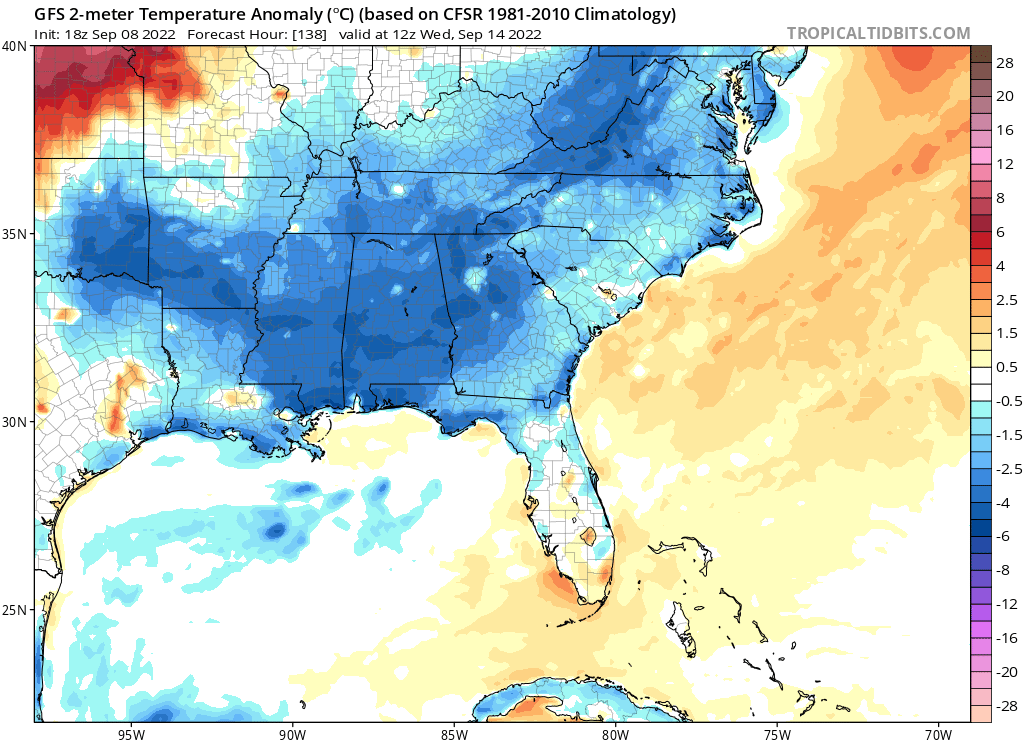
Daytime highs could be in the upper 70s and low 80s across our region, and could go into the low 60s or even upper 50s for nighttime/morning lows. The coolest day looks like Tuesday, with continued low humidity into Wednesday.
Enjoy the momentary upcoming taste of fall!
You must be logged in to post a comment.