
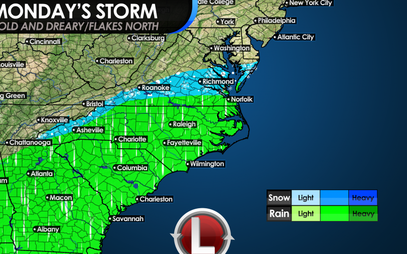
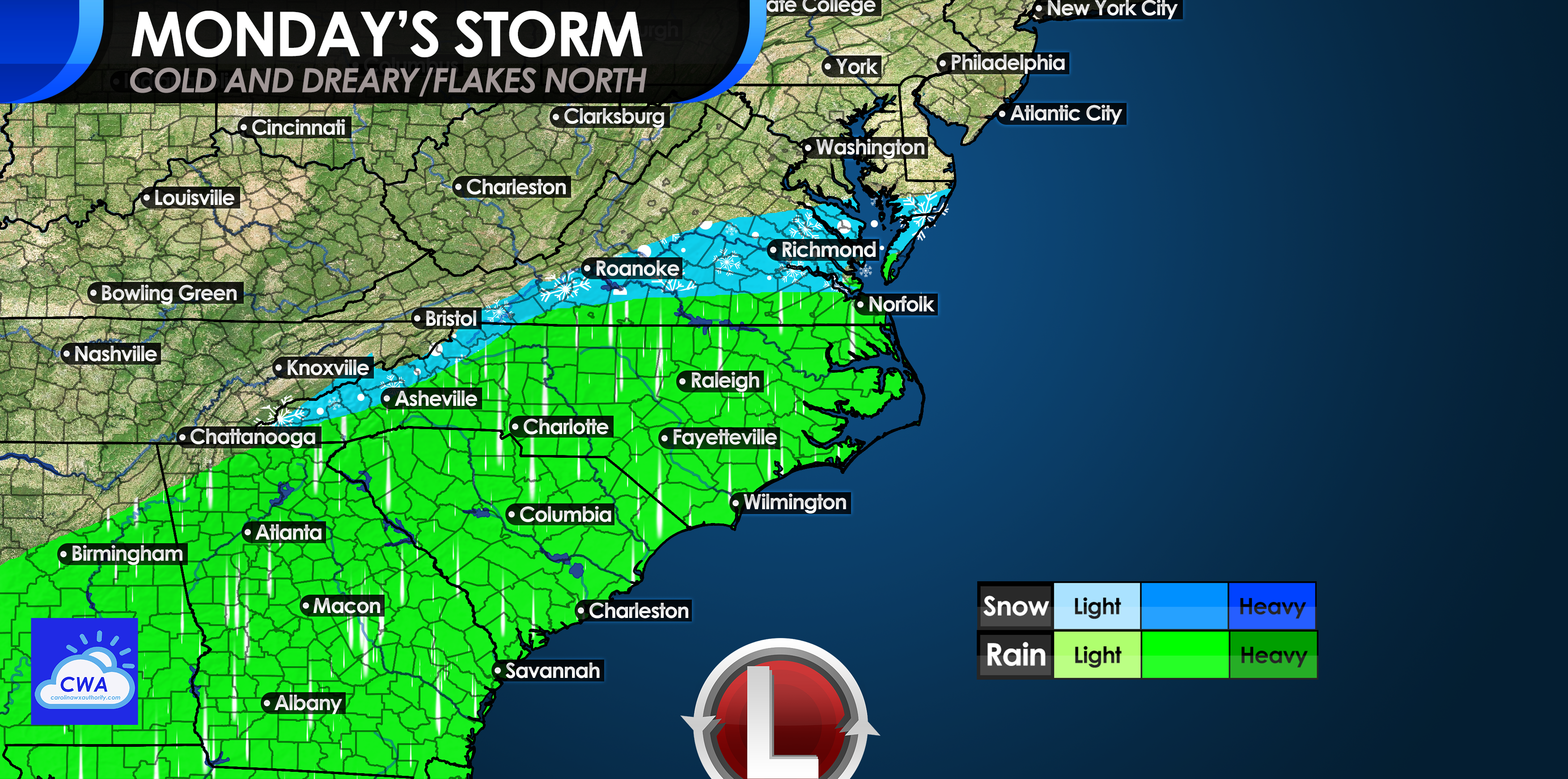
Our next storm system to affect the region will be on Sunday night into early Monday. While it will likely be too warm for snow across the Carolinas, our neighbors to the north could see flakes, and in some locations perhaps a coating up to an inch. A coastal low will form down near Florida and will move northeast over the water, causing light rain and snow to fall across the Southeast.
Below is the map of what we are expecting from the low pressure system on Monday. The mountains in NC and VA, as well as central VA may expect some flakes as this storm system slides offshore early Monday morning, around 6-7 am.
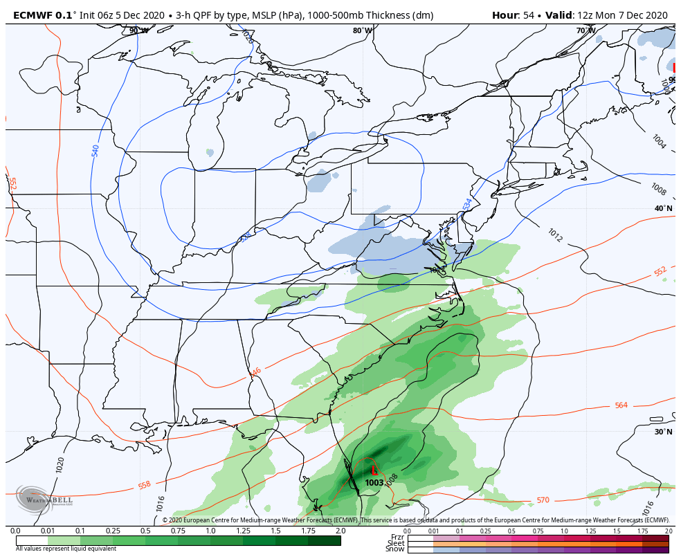
The Euro model seems to have a grasp of what may happen on Monday the best it seems, and it’s no surprise that this model has been referred to the “King Euro.” Below is the Euro for early Monday morning showing the chance of flakes for Virginia and the mountains. Accumulations are expected to be light, with a coating in spots and up to an inch where heavier snow falls.
If you don’t get snow out of this system, don’t worry, there will be plenty more chances this winter and even this month. We are currently in an active pattern that favors southern-track storms, and you know what that means!
Please follow our FB page if you haven’t already and check out some other features and pages here on the site!
You must be logged in to post a comment.