
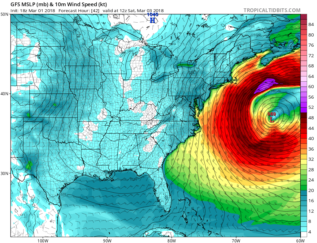
If there is one issue with this storm, it will be the intense winds. While nothing crazy, as in over 100 mph winds, gusts could reach hurricane-force, especially along the coast (at least 74 mph). I’m sure there could be some locations farther to the north that could hit 80+ mph.
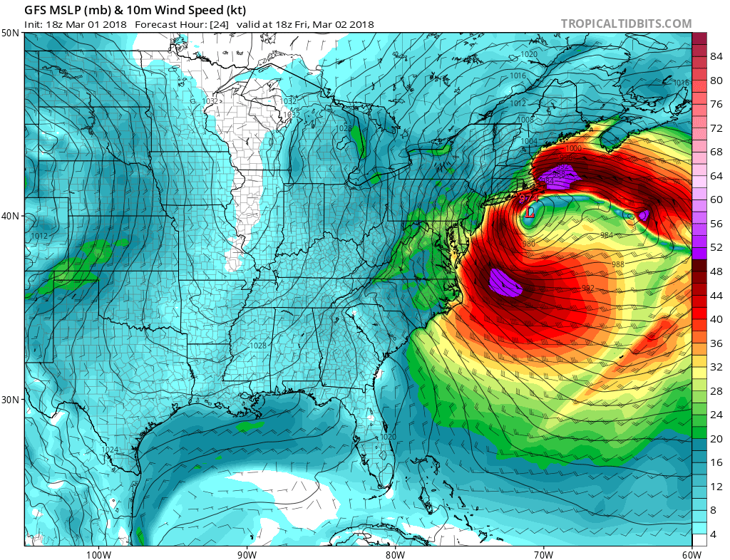
GFS for lunchtime Friday showing our storm really ramping up.
These winds continue to howl especially along the coast. Trees will be swaying back and forth and power outages will occur from Maine to North Carolina. The wind field will extend all the way down to the Florida coast! Shown is Saturday morning 7am.
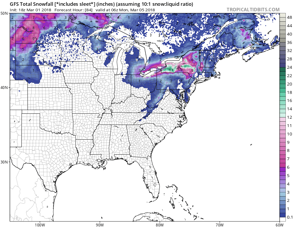
The storm pulls away Saturday and the winds will slowly diminish. Snowfall will be limited to the Northeast and the mountains to our west.
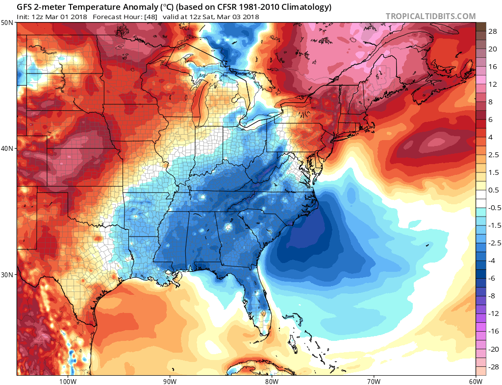
It will be turning colder behind this system, as we are already experiencing here in western NC. You will need the coats when you head out on Friday and Saturday!
-Mike G
You must be logged in to post a comment.