
Many of us are alarmed by early summer heat. It certainly has been hot and sticky, especially across the Carolinas. Heat indices have soared well over 100 degrees F for days. Some of may be thinking, how long will it last? Will there be a change in the pattern? Are we going to remain in a heatwave?
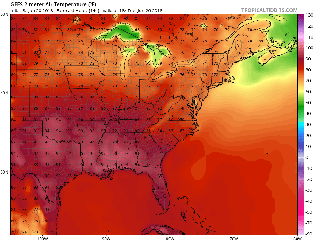
There is some good news, possibly. Models have been consistent on a pattern change around Tuesday or Wednesday next week. The GEFS ensembles are latching onto an idea of a significant cool down compared to the recent heat. Shown below is the GEFS valid on Tuesday the 26th.
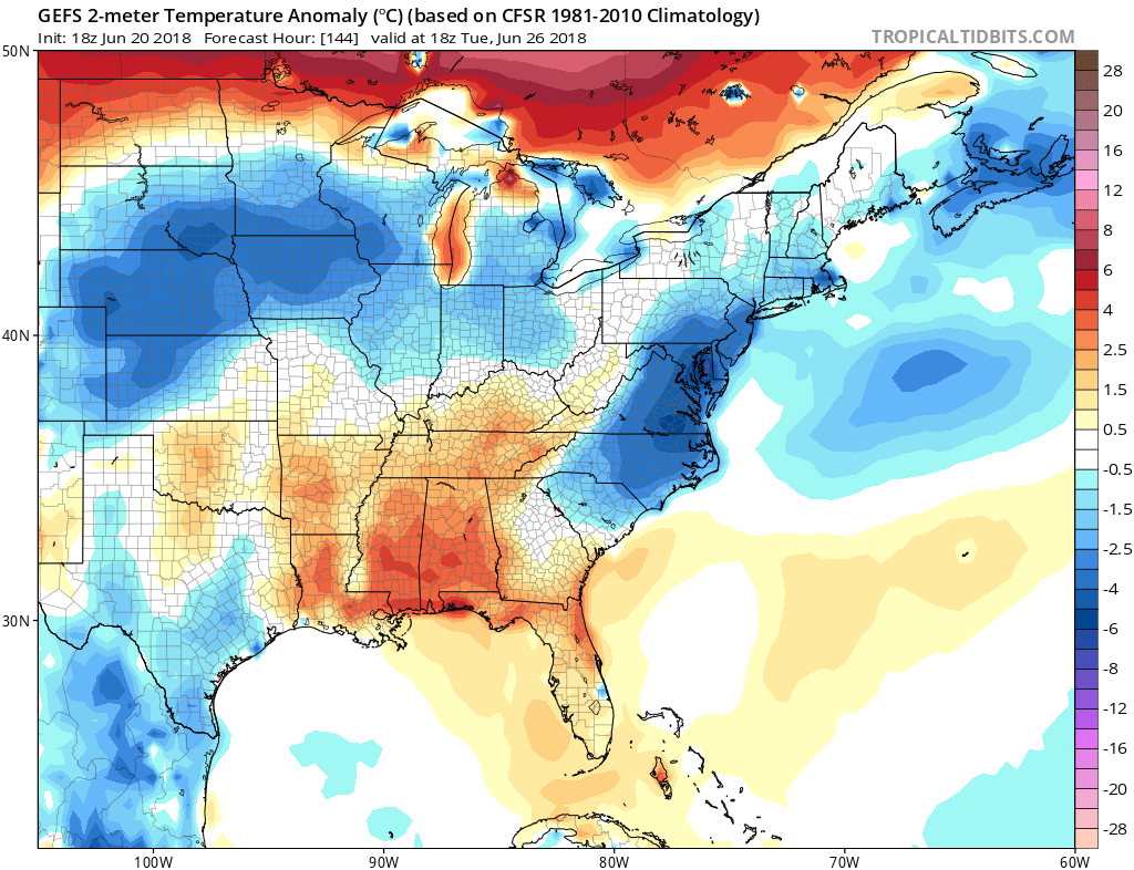
This would be a very welcome change for those of us who are suffering from the heat. This will also give our air conditioners a break. If this forecast verifies, highs next Tuesday will be limited to the mid 80s across both North and South Carolina. Now if it could stay this way all summer, many of us would not complain!
We will post more updates on what pattern is expected to begin July, and we will have your 4th of July forecast out soon. Stay tuned!
East Coast Weather Authority
You must be logged in to post a comment.