
It’s only September, however there are signs that the Polar Vortex is forming over the North Pole. By the end of September, models are indicating that this feature could start to strengthen. However, this does not mean cold outbreaks for the East Coast unless the vortex deforms, and weakens. But as of now, this feature could be starting to form by the end of this month.
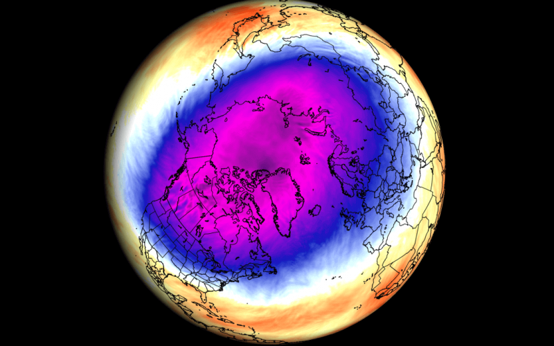
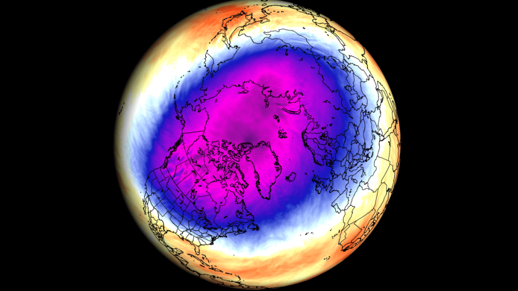
The below image is the Polar Vortex from a previous season, but we used this for illustration.
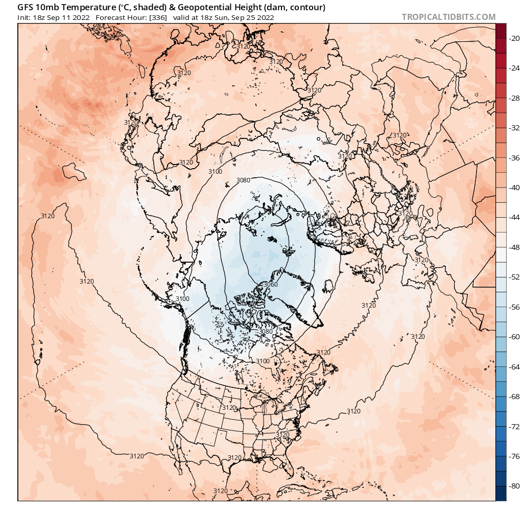
The GFS model below is indicating the Vortex becoming somewhat evident towards the end of the month, and around the 25th is pictured.
This could indicate that winter could be off to an early start IF, and ONLY IF, the Polar Vortex starts to distort and allows cold outbreaks down over the East Coast.
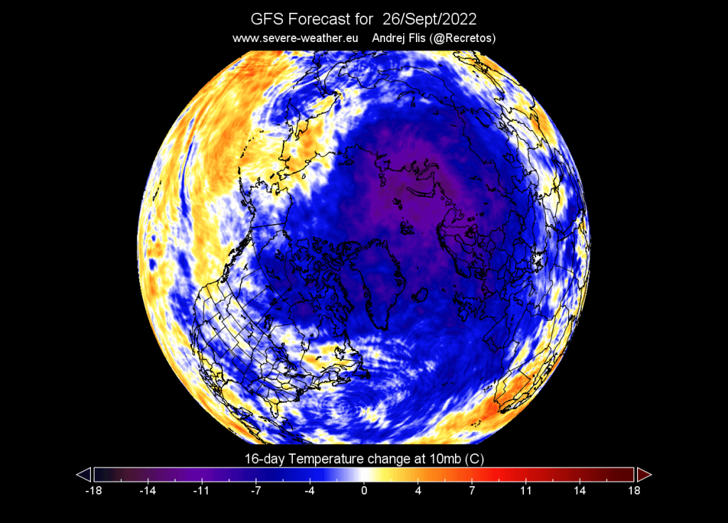
The temperature is starting to drop in the Stratosphere, which is the upper layer of the atmosphere where weather occurs. This means that the Polar Vortex is slowly starting to form this month. Below is another forecast for on or around the 26th.
Does this mean we will have a cold and active winter? It’s still too early to say, but if the Polar Vortex is present early in the season, and starts to distort, winter could have an early start this year.
It’s really anybody’s game at this point, since long range seasonal forecasting can prove difficult, especially for the winter.
You must be logged in to post a comment.