
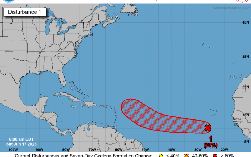
It’s not typical to see a 70% chance of tropical storm formation this early in the season. However, there is now a good chance that we might see something over the next 7 days. Some experts are saying that the weather pattern over the ocean now resembles August. That is a busy time of year for tropical systems. And we could have Bret as early as next week.
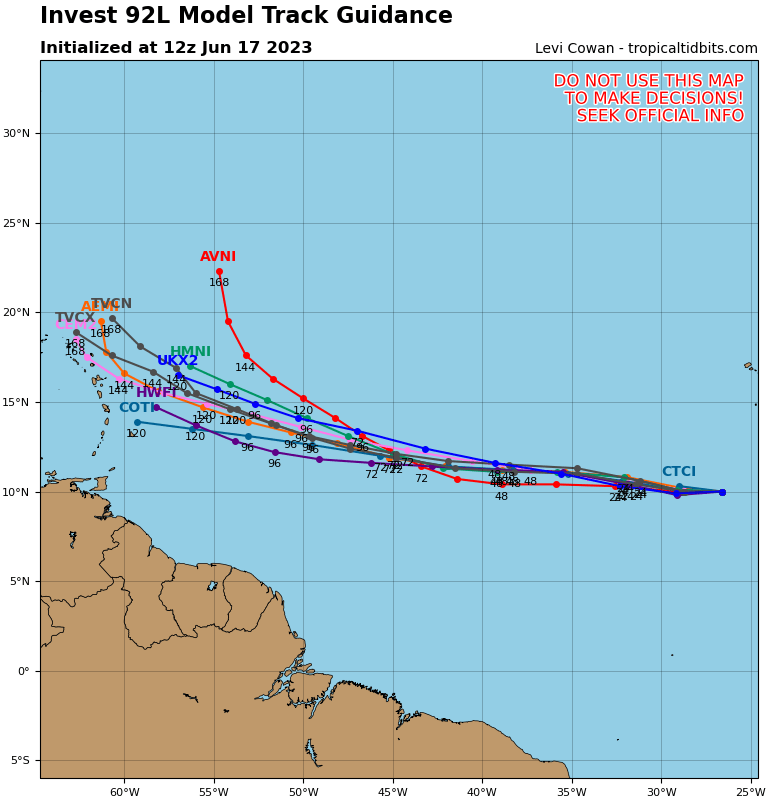
If this system stays on track, it could either make a turn to the north or continue west, but it’s too early to say. However, the Southeast US should watch this system should it develop. The only thing right now that we know is to monitor the forecast. No immediate action needed or any threat to land soon. But just watch to see what track the system takes in the coming 7-8 days.
The latest spaghetti map from www.tropicaltidbits.com shows the the Caribbean might need to watch. But some model members indicate a tug to the north and *maybe* out to sea.
Official NHC discussion regarding Invest 92L:
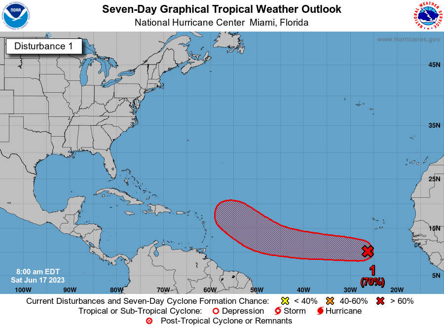
Tropical Weather Outlook
NWS National Hurricane Center Miami FL
200 PM EDT Sat Jun 17 2023

For the North Atlantic...Caribbean Sea and the Gulf of Mexico:

1. Eastern Tropical Atlantic (AL92):
A tropical wave located several hundred miles south-southwest of the
Cabo Verde Islands continues to produce a broad area of disorganized
showers and thunderstorms. Environmental conditions appear conducive
for additional development, and a tropical depression is likely to
form by the early to middle portion of next week while the system
moves westward at 15 to 20 mph across the eastern and central
tropical Atlantic.
* Formation chance through 48 hours...medium...50 percent.
* Formation chance through 7 days...high...70 percent.

Forecaster Bucci
Keep it right here with Carolina Weather Authority to keep you updated on this potential storm and as always your official NOAA weather outlets. We will provide updates on this system.
You must be logged in to post a comment.