
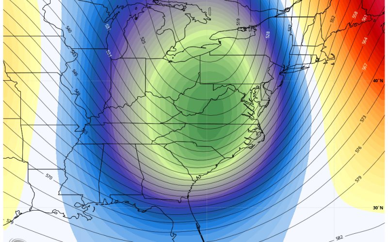
COLD CHRISTMAS 2020
The has been consistency in the forecast for Christmas, and that is COLD. While it will be hard for us to get flakes here in the Carolinas, the mountains could see a few flurries and some could even escape the mountains and make it into the foothills of NC. The big story will be the potential for gusty storms ahead of the powerful cold front on Christmas Eve, and then the wind behind the cold front as much colder air will usher in. Christmas will be a cold day, with highs only making it into the 30s. As the winds die down Christmas night, the coldest night of the season so far is expected by early Saturday morning.
Below two obtained from www.tropicaltidbits.com click for larger version
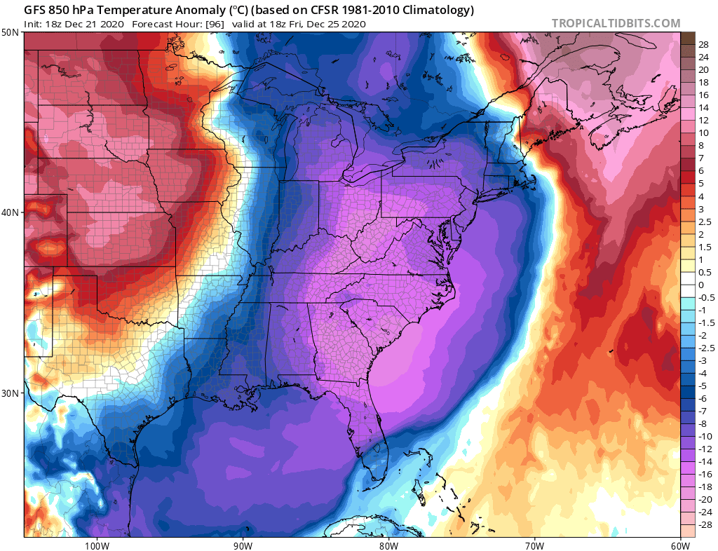
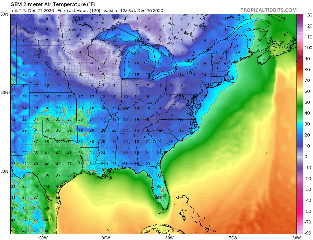
The Euro is a bit warmer, but with lows still in the low 20s for most and 10s in the mountains. Christmas night will be a textbook-perfect night for a fire in the fireplace (do so safely).

We then begin another slow warm-up, but are not quite certain what is to come down the road. Keep following us for the latest as we start to look into the end of this month and early January!
You must be logged in to post a comment.