
Significant Cooldown Expected in Time for Autumnal Equinox
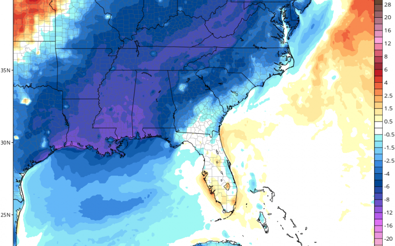
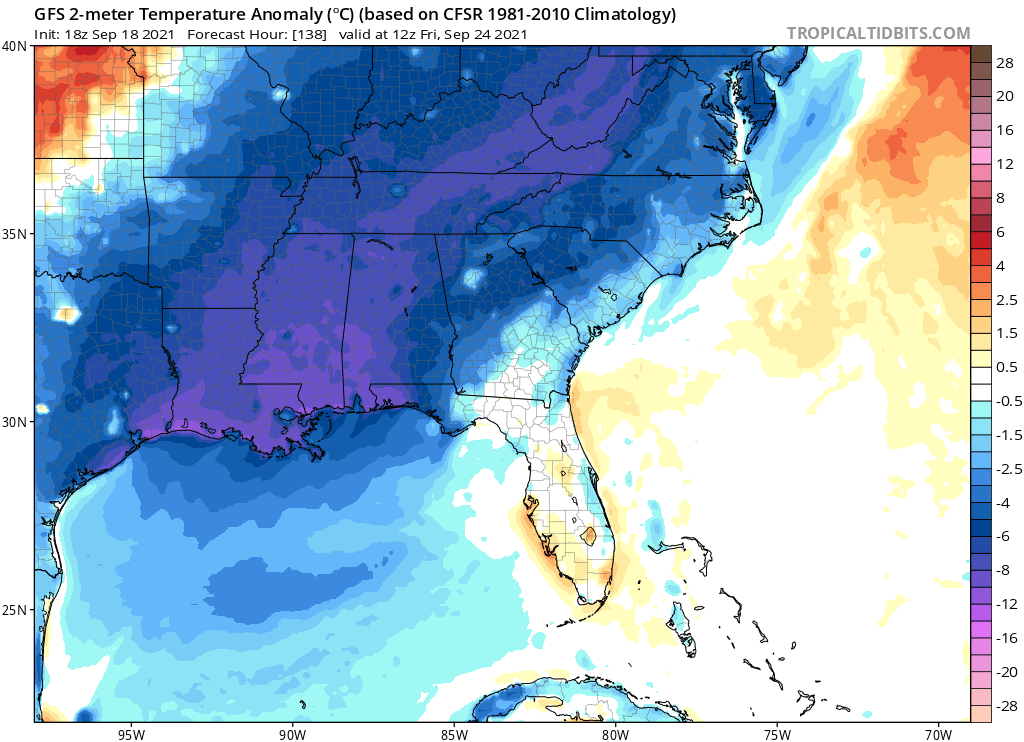
Forecast modeling is beginning to consolidate on the arrival of a significant pattern change by the latter half of next week just around or slightly after the beginning of the autumnal equinox on September 22nd. The European shows a cutoff area of low pressure and below normal anomalies across the Ohio and Tennessee Valleys by Wednesday into Thursday, which signifies that our area could see a period of storminess Wednesday, followed by much cooler temperatures Thursday into the weekend as winds turn out of the northwest.
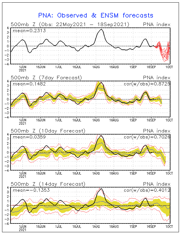
In addition, if we look at some of our teleconnections, we begin to see some support for this transition. The Pacific North American Oscillation, (or the PNA) in its positive phase , generally leads to a ridge over the West, with a trough over the East. If we take a look at the latest chart from the GEFS ensembles we can see a considerable spike to positive on the PNA which would support what we’re seeing in the global deterministic modeling. Additionally, there’s some indication here that the mean projection of the PNA remains generally positive. If so, this would put a damper on any extreme heat through late September potentially into early October, which is appropriate for this time of year, but in the Southeast it’s not always guaranteed. Hopefully that’s something we see verify as we get closer.
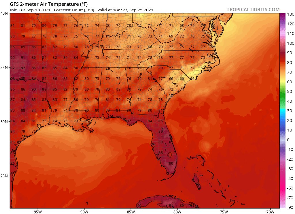
Following storminess with the front Wednesday, we could see a period of cooler temperatures some 10-20 degrees below climatological average in many areas of the Carolinas for Thursday through the weekend. Dew points will lower as well with the northwest wind flow so humidity will tank for most areas of the Carolinas.
Some of our higher elevations may find dramatically chillier highs in the 50s and 60s with lows in the upper 30s to upper 40s.
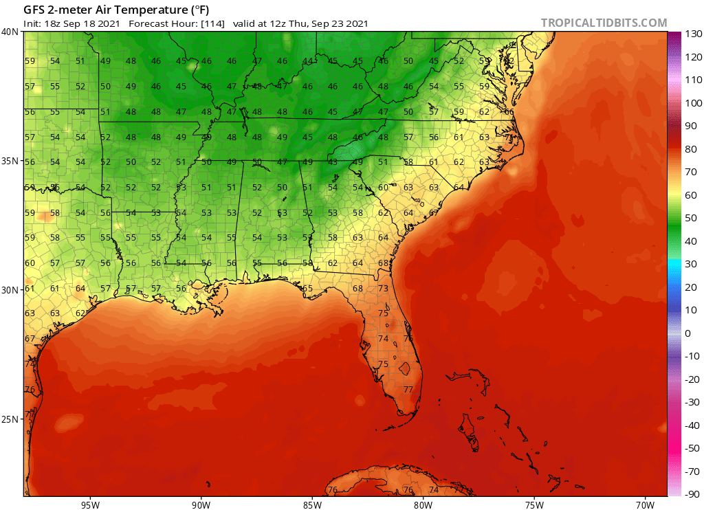
Charlotte may witness several consecutive days with highs in the 70s to near 80 to round out September!
The least impact is expected to be along the Southeast Carolina Coast, but there should at least be some moderation to daytime heating and a notable cooling with low temperatures.
If you love summer, make sure to enjoy the weekend into early next week as far as temperatures go, and if you love fall it’s looking like a significant shake-up in less than a week.
~ Jesse Sacher, Carolina Weather Authority
You must be logged in to post a comment.