
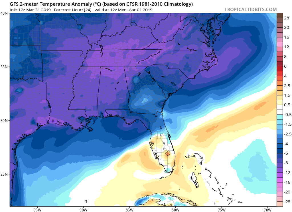
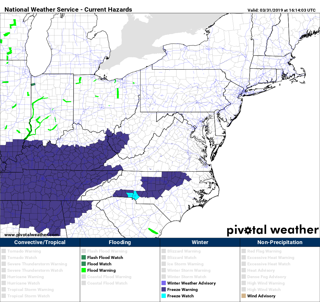
After a very pleasant spring-like streak over the past 3 days or so, we will return to more February-like temperatures to start Monday morning. Lows will be in the low 30s and hence there are freeze watches and warnings for Charlotte and the NC Piedmont tonight into Monday morning.
Protect plants and vegetation if you are in the watch or warning areas tonight!
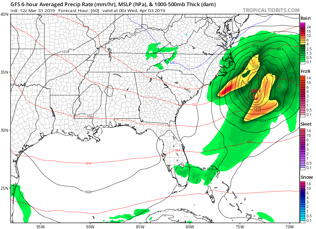
There are talks of a coastal low on Tuesday, but the exact impacts are still uncertain depending on the track. As of now, the impacts along the East Coast look to be minimal.
The Outer Banks could have some sustained winds from 25-35 mph with higher gusts, however that location is used to these kind of winds. Farther inland should be safe from any serious impacts.
That’s all for the latest East Coast weather news! Check back for more later!
-ECWA
You must be logged in to post a comment.