
There has been a lot of talk about a big pattern change coming over the next 6 days, and it’s looking like it’s still probable. Cold and snow could be on the horizon, but it’s unclear who the snow will be for.
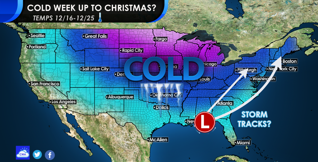
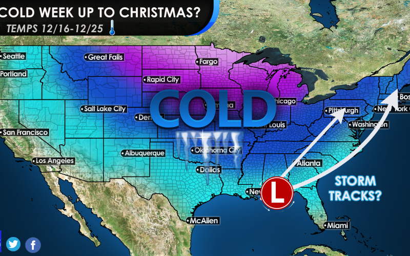
After the 15th is when we need to start watching for an impending cold wave. This cold wave will start in Montana but will then spread south and east. The overall trend will be a frigid period between 12/16 and 12/25, with multiple chances for storms. Some may take a coastal track, and some may be “App” or “Mountain Runners.”
Either way, chances for a white Christmas are not zero this year, but maybe slightly higher. It is hard to tell how many opportunities for snow there will be exactly, however we believe it will be more than one. A freak event can always happen here in the Southeast, but the snow may be farther to our north.
In this kind of pattern, it is not completely unheard of.
One thing is for sure; hats, gloves, coats and scarves could be in the not-so-distant future.
You must be logged in to post a comment.