
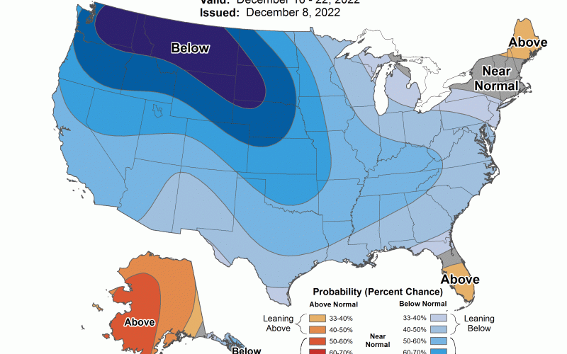
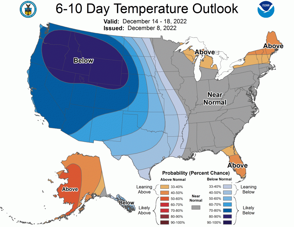
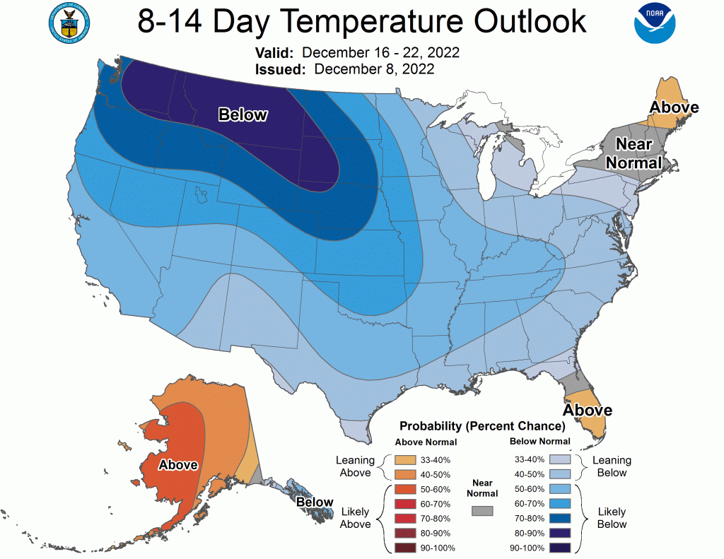
Temperatures have been above normal as forecasted, and will continue into this weekend. The exception is the Carolina Wedge in the western Carolinas with rain and fog, and slightly cooler temperatures. This trend will continue into the 14th or so, as temperatures AS A WHOLE, overall, are expected to be near average for our area. Below is from the 14th into the 18th.
However, after this timeframe, the real cold will start to work its way east, possibly down into our area during the week of Christmas. By Christmas Eve, the cold could actually be in our area, and could last into Christmas Day.
Will there be any snow with this pattern? There’s no way to tell for sure, as it’s still early, but somebody, somewhere along the East Coast may have a white Christmas. Florida to Maine is a lot of real estate.
I would not be surprising if we get a white Christmas somewhere in the South, as the pattern will be favorable around Christmastime.
Watching and waiting, as the models adjust and the pattern evolves.
You must be logged in to post a comment.