
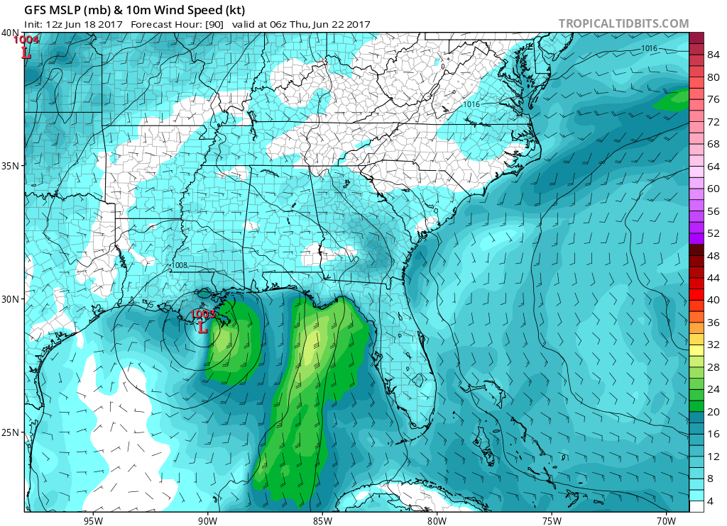
Which model will end up being right? The GFS? CMC? Euro? No one knows for sure, and this system could make landfall anywhere in the Gulf. But not to worry, because the system will not have time to develop into anything really strong. It will make landfall as a strong depression or weak tropical storm. The GFS has a New Orleans/Louisiana landfall midweek:
The Euro has been consistent with taking the storm into Texas or Eastern Mexico. We have to keep in mind that the Euro typically outperforms American models.

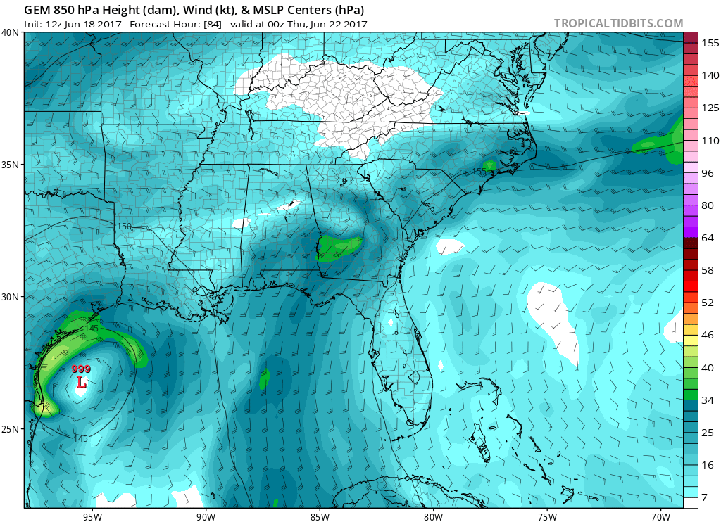
And now, the Canadian is also latching on to this idea.
And for the grand finale, the king of all hurricane models, the HWRF. This stands for the Hurricane-WRF, which signifies hurricane forecasts are what the model is designed for. Look out Texas and maybe Louisiana.

My thoughts are that the storm will head west into Texas somewhere and make landfall along the Texas Coast. It could slightly trend toward Louisiana. However I am emphasizing this storm will not grow very strong due to the upper-level shear.
You must be logged in to post a comment.