
TROPICS BECOMING BUSIER AND BUSIER WITH MULTIPLE ITEMS OF INTEREST
The Atlantic continues to become busier and busier, and this correlates with the original idea we’ve had for some time now that the latter part of September into October would become more favorable for tropical activity.
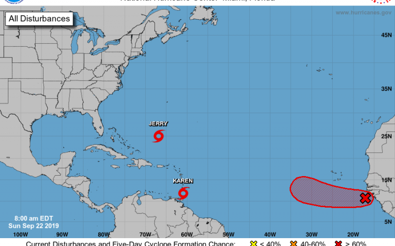
If we take a look at the latest outlook from the National Hurricane Center, we see three items of interest in the Atlantic, with two being more of a concern.
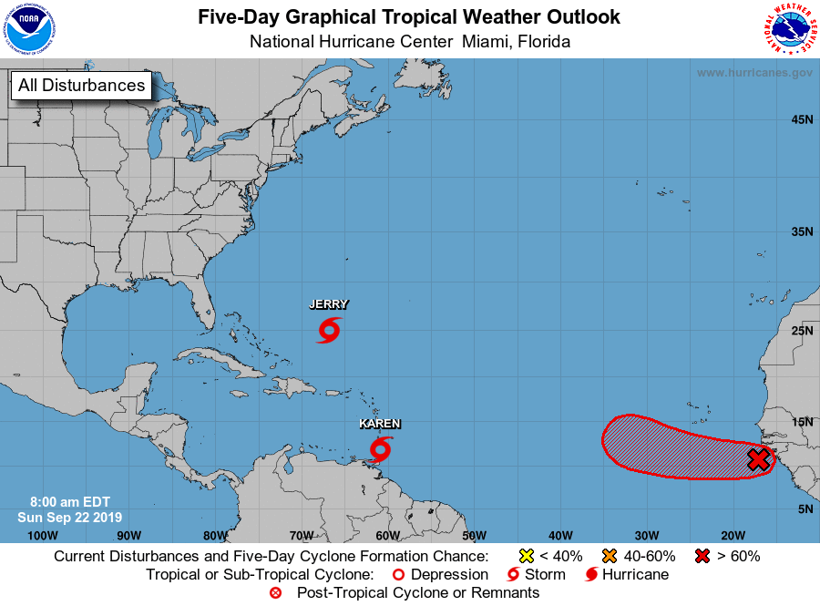
Jerry has been of no concern thus far, and will not be, as a continued path well out to sea is expected. However, we also see Tropical Storm Karen behind it, which has recently developed in just the last 24 hours, and is expected to reach Puerto Rico Tuesday night into Wednesday.
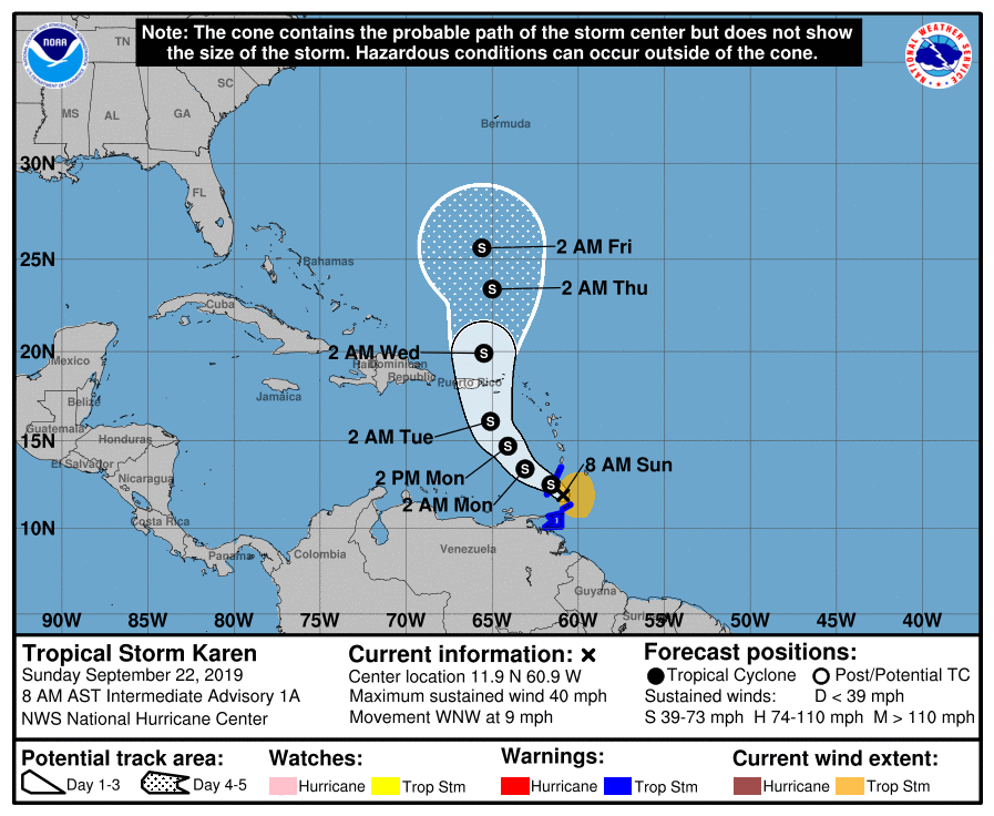
From there, the evolution of Karen is unclear, but there is some cause for concern. Many of our forecast ensemble modeling takes Karen out to sea, in a similar fashion to the previous cyclone. However, some ensemble modeling does not. Take a look at the latest GEFS Ensembles:

As you can see, there is a considerable quantity of our members that diverge, taking Karen on a more westerly route towards the US by this next weekend. This is why you want to keep a close eye on Karen if you live anywhere in the Southeast US. Check back in the coming days for updates on that particular cyclone.
Furthermore, a very well organized system just off the West African Coast is expected to become a tropical depression later today, and the environment is very conducive for an upgrade to a tropical storm shortly thereafter. These waves that form in the Cabo Verde region are very important this time of year, and should be watched very closely. We”ll be monitoring this closely in the days ahead.
Stay tuned in the days ahead as we track the latest tropical developments here at Carolina Weather Authority. Also, make sure to check out our models page. It has been expanding with lots of new content recently, and you can follow the latest forecast modeling and tropical outlooks from the National Hurricane Center there at your own personal convenience.
-Jesse
Carolina Weather Authority
You must be logged in to post a comment.