
A disturbance over the Bahamas will slowly drift towards the Southeast Coast this week. At this time nothing major is expected other than heavy rains. The NHC gives it only a 20% chance for development over the next 5 days. A powerful cold front will bring much welcomed temperatures this week and this disturbance could get caught up in the front, thus bringing heavy rains, especially along the coast. Water temperatures are warm, however upper dynamics and the speed of the system do not favor rapid development.
Another possibility is that if this front is strong enough, it could get swept out to sea altogether. However this is uncertain at this time. This disturbance also may not be organized at all, since the models are not picking up on it.
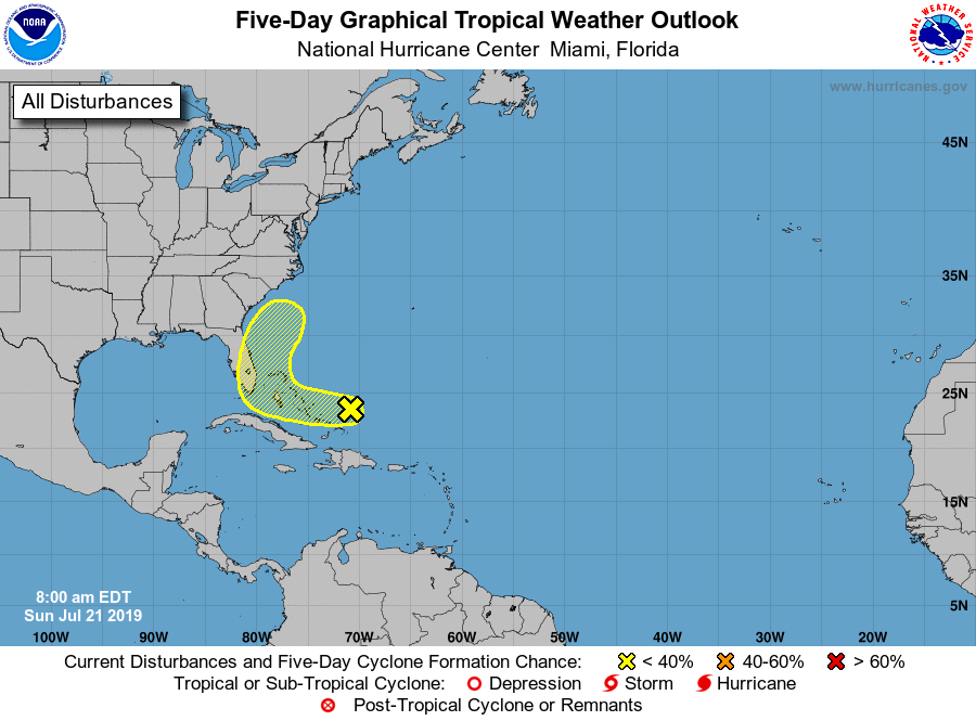
We will continue to monitor this week for any further developments. Stay tuned!
ECWA
You must be logged in to post a comment.