
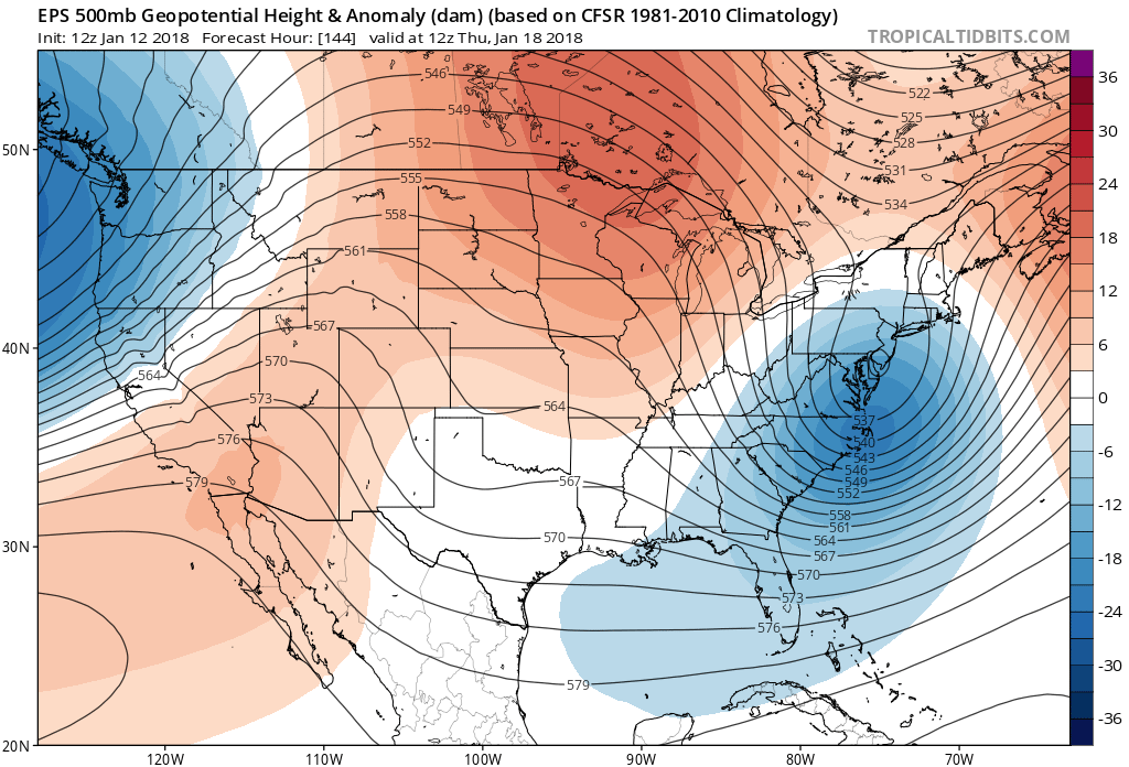
The next upcoming chance for the white stuff comes late next week, around Thursday. Wednesday into Thursday will be cause for travel concerns across eastern NC including Raleigh. The triad could be one area affected by this snowstorm, even if it’s a couple of inches. Hampton Roads, VA will also be in on the accumulations. This will most likely be a VA/NC storm with snow in Raleigh up to Richmond and Norfolk/VA Beach.
The trough, in blue shown on the height contours, signifies an area of low pressure through many layers of the atmosphere. This is indicative of a storm system developing, or at least, phasing.
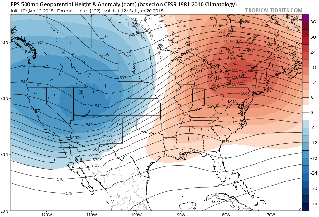
After this storm departs, a slow warmup will take shape around or on the 20th. This is expected, since there are signals of our polar vortex coming back after the 25th and into February. Winter is far from over.
Enjoy it, from here in NC …somewhere…
-Mike G
You must be logged in to post a comment.