
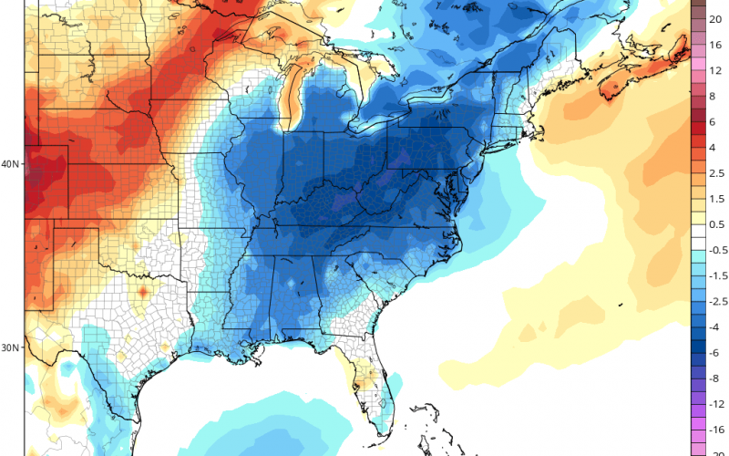
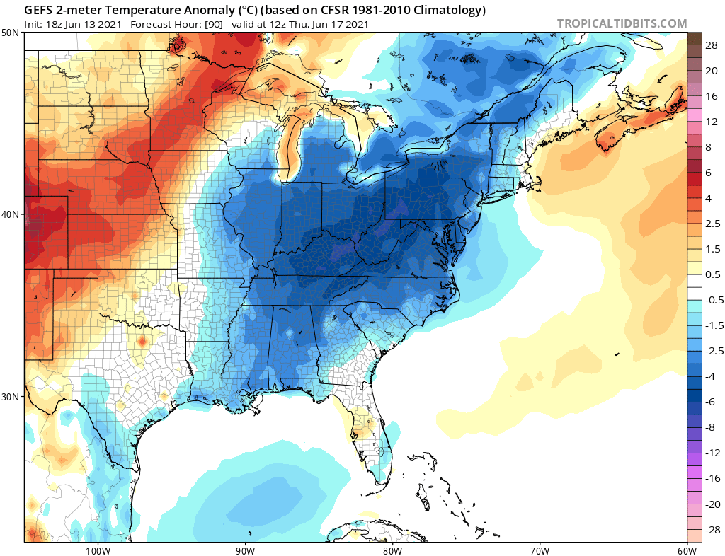
For those who do not like what summer usually brings, you could be in for a treat this week. A series of backdoor cold fronts will send cooler and drier air to the Carolinas starting Monday night. Then on Wednesday, a more robust cold front pushes though, and will bring some refreshing fall-like northern air. Below on the GEFS are the 2-meter temperature anomalies for Thursday morning. The center of the cool air pool will be over the Appalachians, from PA into WV and KY, and some of the western VA and NC, eastern TN mountains may get some cool crisp air in the morning. For the rest of us, this will be a very brief cool shot.
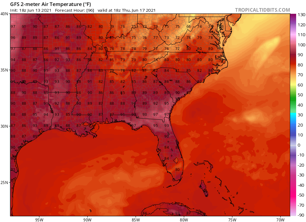
We are NOT saying it will be cold, but just below normal for this time of year. Below are forecast highs for Thursday on the GFS. Much of NC will only see the low 80s for highs on Thursday. Down into SC highs will not be insanely high for this time of year, and the humidity will lessen.
It could be WAY hotter for this time of year, but we are actually seeing near normal to slightly below normal temperatures. We do not see any changes to this in the long-range, and there are no pronounced “heat domes” in our near future. This year looks like a VERY tame start to summer for our region. Maybe not for the Desert Southwest where temperatures will soar, but hey, we are not there.
Thanks for reading and please share this article if you enjoyed this update!
You must be logged in to post a comment.