
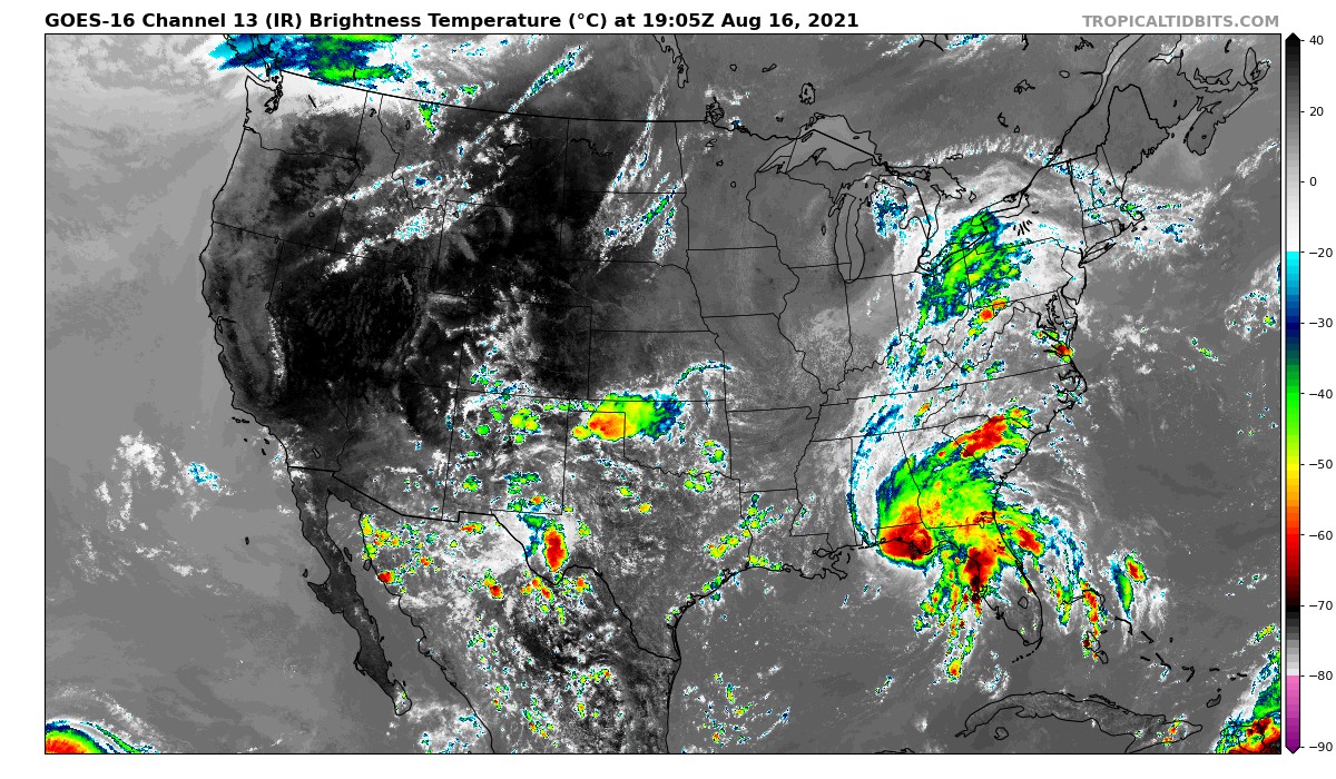
As expected there will be inland impacts coming our way from Tropical Storm Fred as he makes landfall in the FL Panhandle tonight. Fred is not the most organized on IR Satellite this afternoon, but he is a 65 mph storm which puts him just under Category 1 hurricane status.
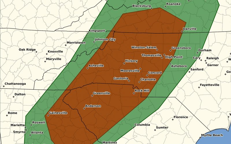
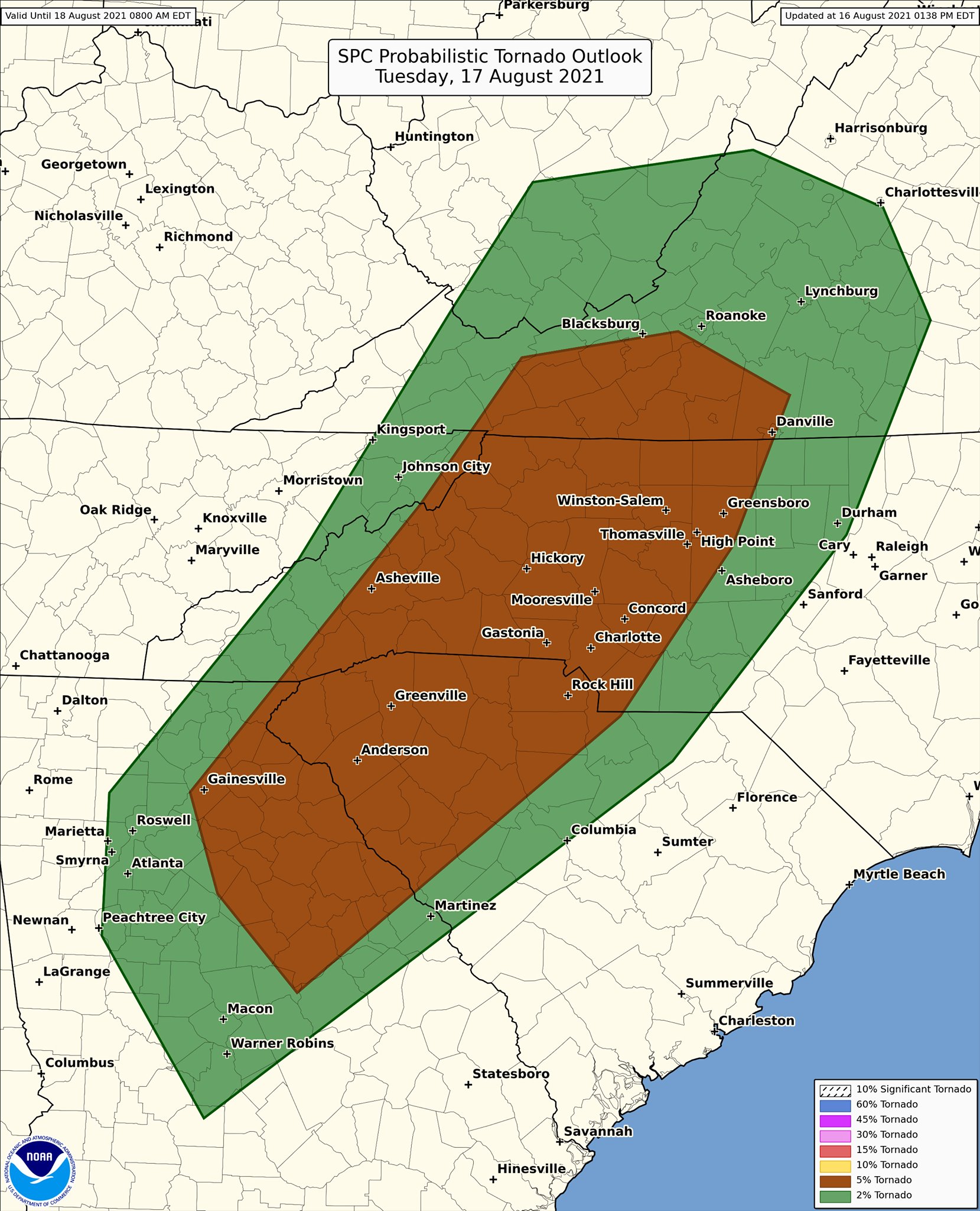
As Fred moves up the spine of the Appalachians tonight and Tuesday, severe storms including tornadoes are possible, as well as flooding rains. Below is the latest severe storms outlook for Tuesday:
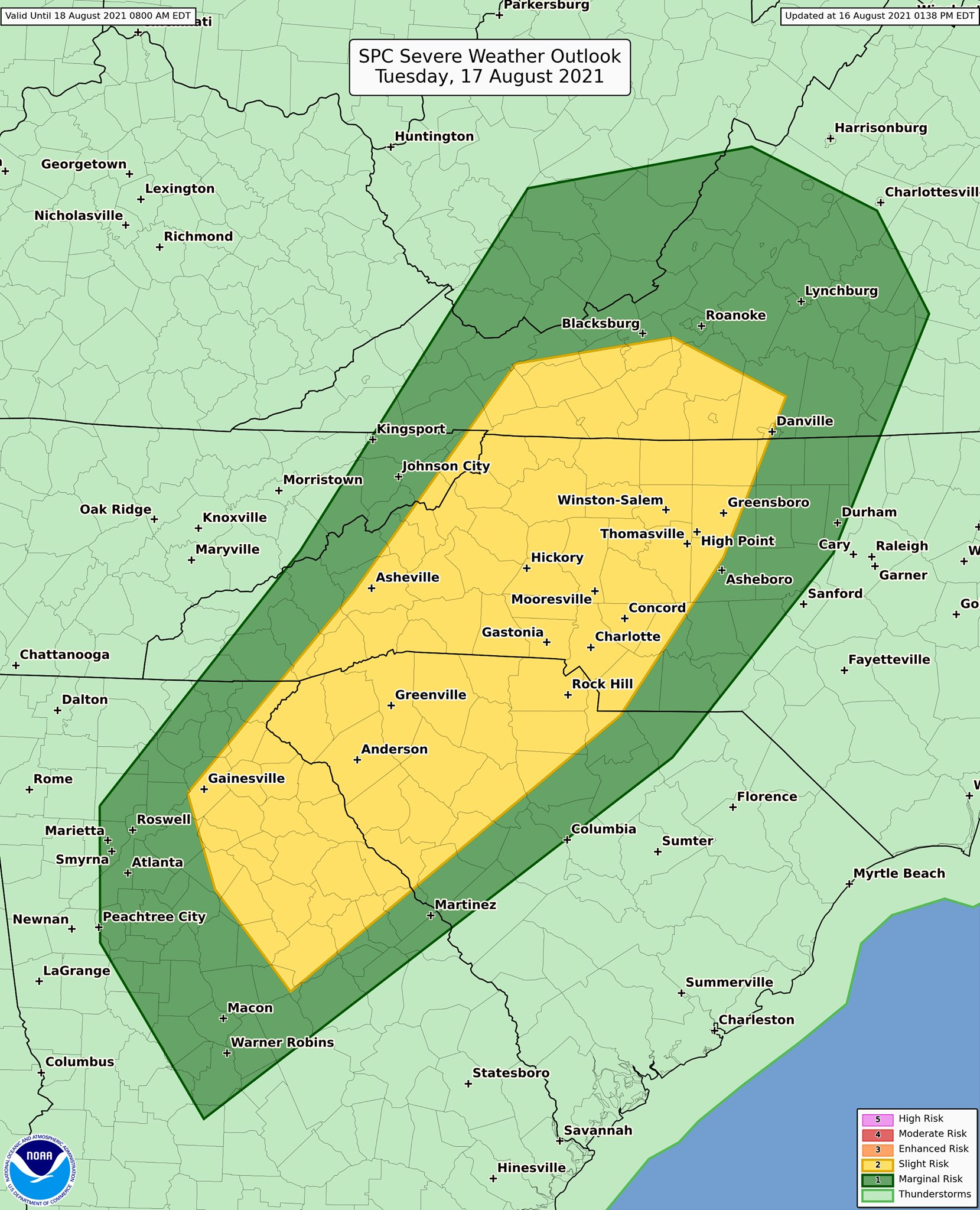
And this outlined area in the dark green and especially yellow could mean an isolated tornado or two tomorrow. With the passage of Tropical Storm Fred to our west, travel will not be ideal on Tuesday and Tuesday night. The tornado risk is outlined below. Please pay special attention to threatening conditions tomorrow (Tuesday):
Wednesday Fred will be long gone, and currently, there are no threats to the Carolinas in the near and distant future. ALWAYS consult your local NWS for all the latest official info and suggestions!
You must be logged in to post a comment.