
We have already had a severe weather event here in the Southeast with multiple tornadoes touching down. Unfortunately, when we have cold fronts blasting through from Canada, that heightens our severe thunderstorm and tornado risk. This pattern we have been in has been active with multiple cool shots. The issue with this is, when we reach the 80s for daytime highs, these cool shots moving in cause severe weather ahead of them.
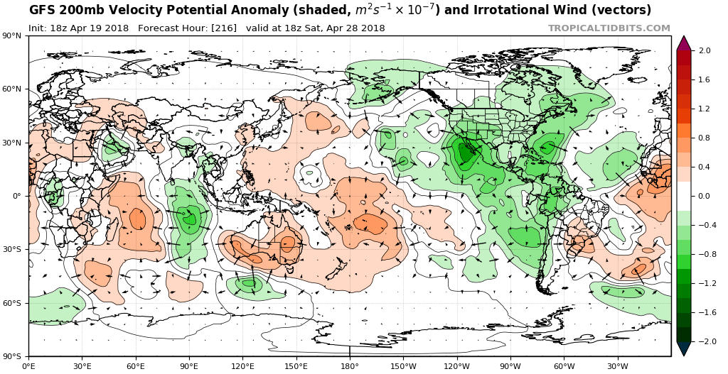
Into late April, we are seeing signs of upper-level divergence over much of North America. What is the significance? This means that there is convergence at the surface due to the law of physics. Convergence at the surface means rising air which is needed for thunderstorms.
The GFS for late April and into early May has some decent upward motion for much of the continent.
Since the Southeast US is typically warmer than the Northeast US, this provides the fuel needed for severe thunderstorms. With the frequent and powerful cold fronts approaching from our west, this makes this season’s severe storm threat more frequent.
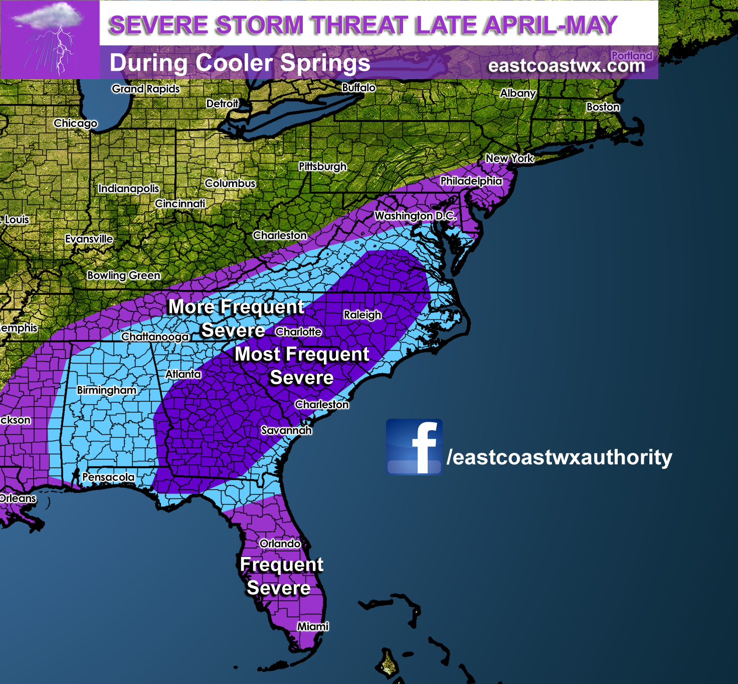
Be prepared for more frequent severe thunderstorm and tornado watches this spring. And always heed ALL watches and warnings that are issued by the National Weather Service!
-Mike G.
Make sure to head over to my youtube channel and subscribe to my videos! >>> https://www.youtube.com/user/mjggriff
You must be logged in to post a comment.