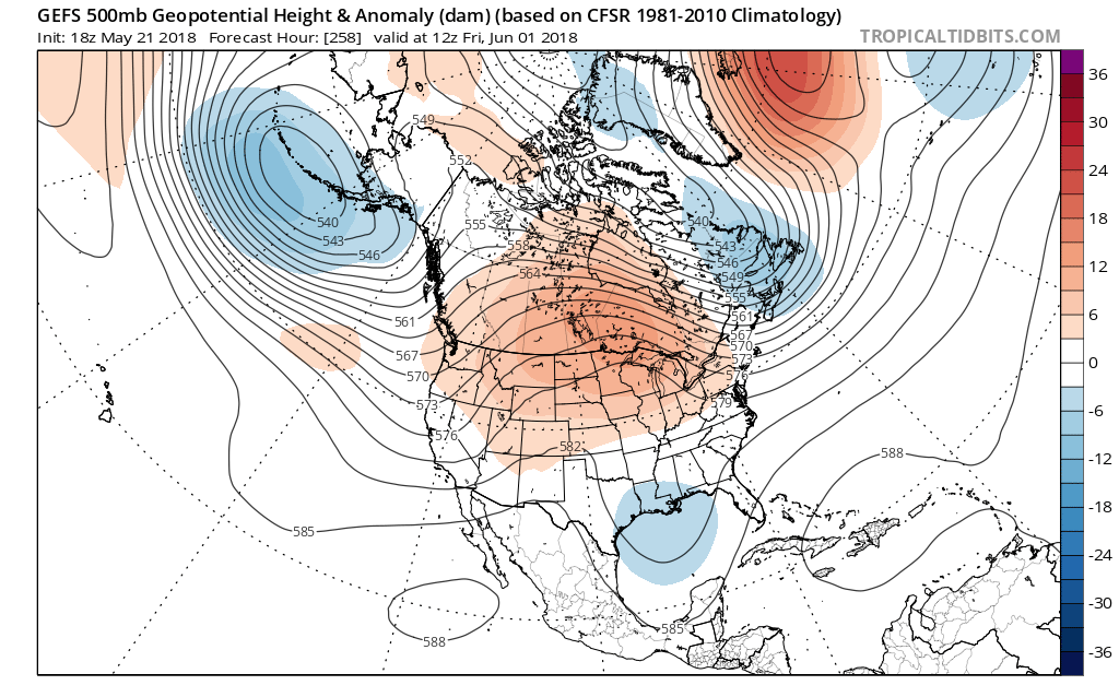
it seems as though we are off to a humid start to the summer here in the Southeast. That pattern may not break anytime quickly. This could be a season for homegrown tropical storms, but that’s fine since we do NOT want a Cape-Verde Islands type of hurricane that comes from all the way across the Atlantic.
The GEFS averaged over a bunch of runs sees our area of low pressure in the Gulf on Monday.
What happens next? The GEFS takes this disturbance westward and weakens, may head into LA and cause serious flooding problems in the near future.
GEFS has us very wet until the end of the month. Heavier rain totals could be possible in south Florida, including the Keys and Miami. But the rest of the Southeast gets soaked.
All for now!

