
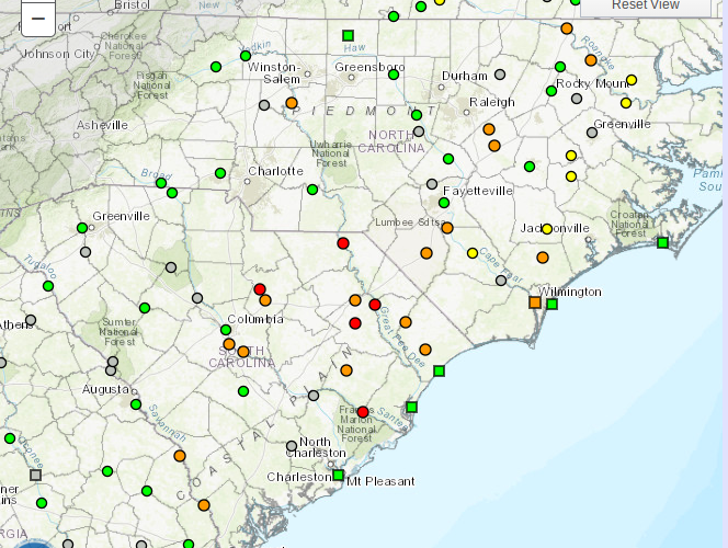
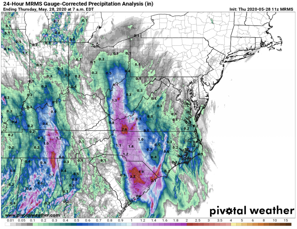
The remains of Tropical Storm Bertha are long gone, merging with an approaching front over the Eastern Great Lakes this afternoon, but now we are at the mercy of unseasonably high moisture levels. Rainfall for the 24 hours ending at 7 a.m. shows a solid area of 1-2 inches of rain fell along and just east of the path of Bertha yesterday. That was the last thing we needed as many rivers remain flooded at moderate levels and the soil remains saturated at levels up to 4 times the normal amount. You can view the current water levels across North Carolina at the USGS WaterWatch website.
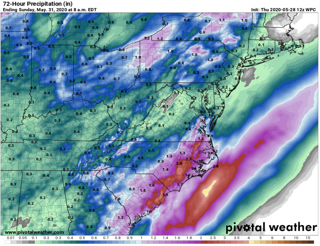
Unfortunately, the forecast through Saturday night calls more more heavy rain and embedded thunderstorms, with the worst of it aimed at the eastern Carolinas. Training showers and storms today are drenching places like Rocky Mount, Greenville, Kinston, and Conway with rain rates over an inch per hour at times, and forecast totals of 1-3 inches are expected across the region. A few spots could see even more! The threat for severe weather is not that high, but an isolated tornado or two could briefly spin up as well. Not to mention the additional rainfall could mean rivers remain flooded.
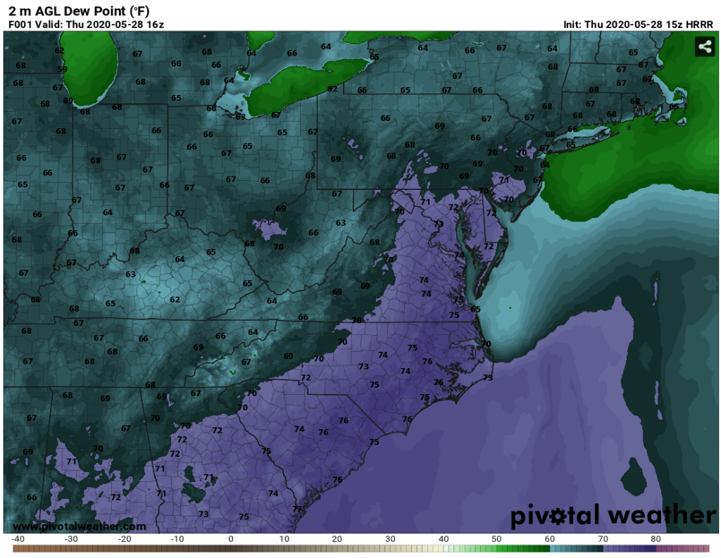
If you step outside right now, the humidity will smack you in the face. Current dewpoint temperatures continue to climb into the 73-78 degree range for many in the Piedmont and coastal Plain. This is about where you would expect them to be if you were in Florida in August – not fun! The dewpoint at my house on the south side of Raleigh is sitting at 75-76 degrees. The sun popped out, but it isn’t helping as the dewpoint continues to chase the air temperature, keeping relative humidity levels at or above 90 percent at lunch time! The culprit is all the recent rain and a moist southerly flow off the Atlantic Ocean, which is warming at a fairly typical rate for May.
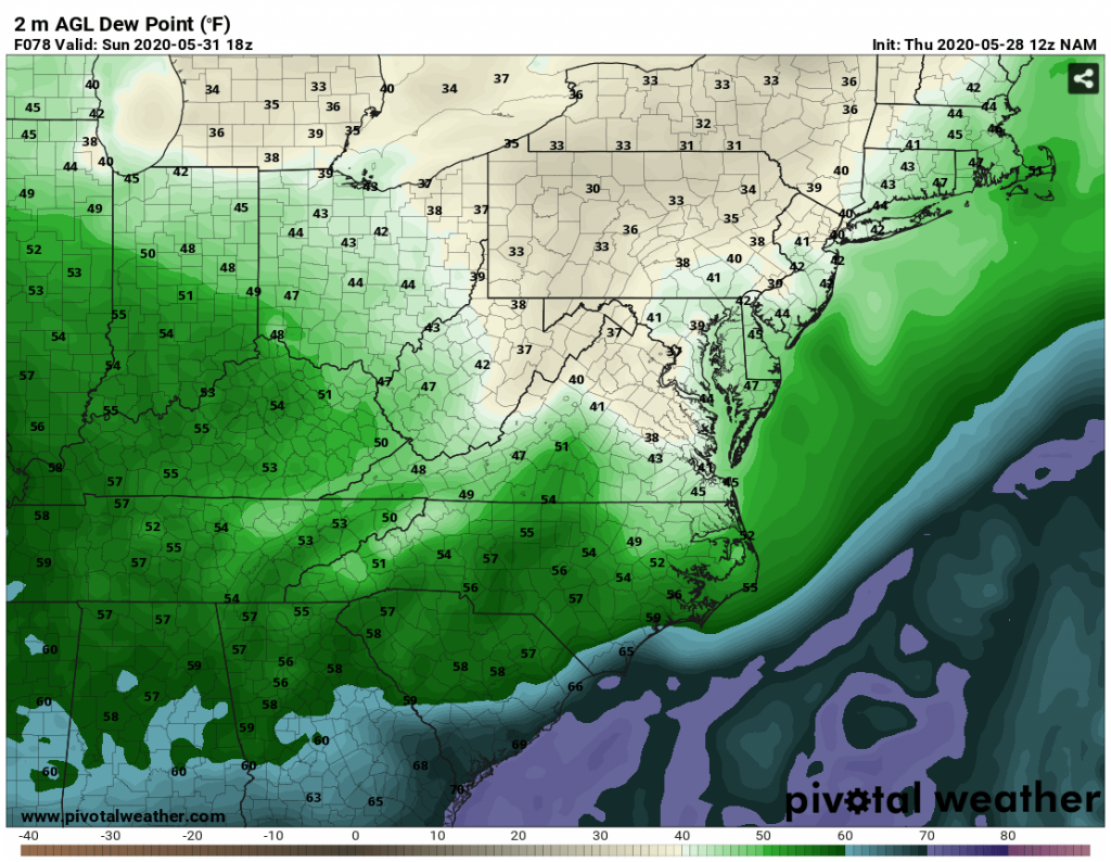
But if you can wait a few days, there are some really nice changes coming down the pipe. A cold front will push into North Carolina Saturday night and then through South Carolina on Sunday morning, slowing down some at the coast during the day. Dewpoints will steadily drop into the 40s and 50s by the end of the weekend for almost all of the region – making it feel like Spring or Fall and not the Dog Days of Summer! Rain chances will also drop off steadily, making outdoor plans much more bearable on Sunday, with the exception of maybe a few pop up showers over the coastal counties.
You must be logged in to post a comment.