
While today and yesterday were not extremely cold, there was a little chill in the air. And now that we are heading into late April, “normal” temperatures are rising as far as seasonal averages. It was cool out recently, as we were on the edge of colder air to our west.
This weekend we can expected spotty patches of drizzle and clouds, otherwise mainly sunny for most of today (Saturday). Most of the rain should stay to our south but SC could get some of the rains that will be moving across northern FL and GA. The next few days are expected to be slightly below average for us, or on the chilly side, which will be more noticeable at night and in the mornings.
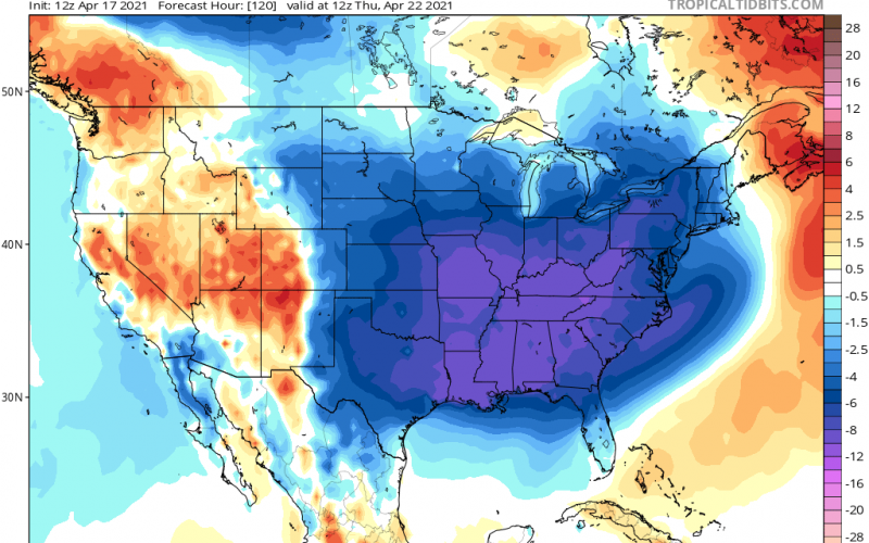
However, there is another shot coming around Wednesday the 21st. Thursday morning lows could be in the 40s for us:

This will be a late-season cold snap, and there could be frost in outlying areas, especially in the purple colors above. Still, planting outside is not recommended.
The chilliness is looking to persist, as there could be more below normal temperatures to start the beginning of next week, but we will worry about that when the time comes as it’s over a week away. The overall takeaway is that there will be no blistering heatwaves or unexpected early-season heat.
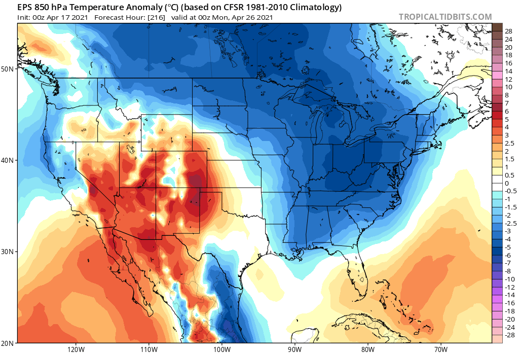
This will keep us overall at an average temperature for Spring, but slightly on the cooler side. There is no correlation between this pattern and a cooler summer. Patterns can change suddenly and unexpectedly.
For now, we have to “put up with” bringing a jacket, especially in the mornings and at night.
You must be logged in to post a comment.