
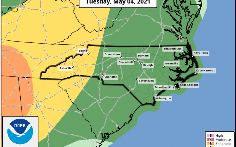
As if today was not eventful enough, more severe weather is possible on Tuesday. This time the highest threat will be to the west, where isolated tornadoes may develop. Again, anyone in the dark green has a risk of seeing a tornado or funnel cloud. Damaging winds and torrential rains are the other biggest threats. Don’t get caught out driving tomorrow in any type of severe weather. Check before heading out.

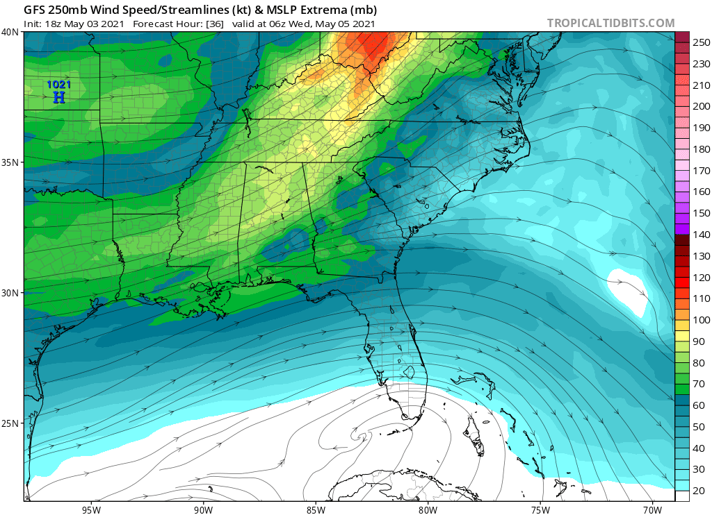
What is causing our pattern set-up to be favorable for tornadoes? The jet stream. Below is the forecast winds for Tuesday night. Ahead of this over the Carolinas is where the slower air will be at a high altitude, making rotating thunderstorms possible. And it could be over a wider area, making the severe outbreak widespread. This is what makes Tuesday potentially more eventful than Monday. Keep an eye to the sky across all of NC and SC.
Always consult your local NWS office for official warnings, safety, and decision making.
You must be logged in to post a comment.