
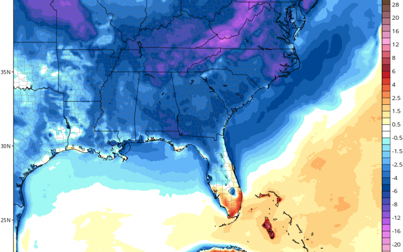
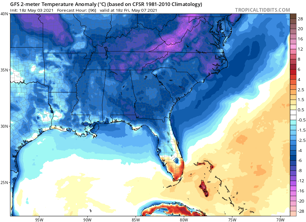
As we had a line of some pretty hefty thunderstorms roll across the region today, a change in temperature will be behind the moisture after it moves out. A cold front will approach from our west and will move through late on Wednesday. By Thursday and especially Friday (shown below), our temperatures will be below normal for May. Highs may only reach the 60s on Friday. And there could be a chilly morning wake-up. During the day on Friday looks like our coldest high temperatures possibly since March. Lows may be in the low to mid 50s for many.
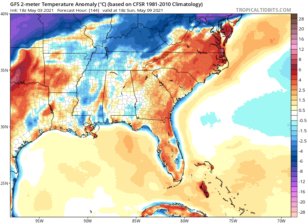
The cold blast does not last, as Sunday temperatures (below) will rebound quickly back to near normal to slightly above,. And it does appear that we will go into a temperature flip-flop pattern after this warmup. May does not seem to be tame this year, with temperatures bouncing up and down. However May is a dynamic month.
Friday AND Saturday will be the focus of our upcoming cold shot. Coldest morning in a while will be Friday and Saturday won’t be too far behind.
All for now, and expect some temperature fluctuation this week. Otherwise it will feel good for those who work outside and don’t like the heat.
In case you are wondering, yes it has been stormy and still is. The South has been getting hammered by storms over the past few days, and it may continue into Wednesday as the cold front finally moves through.
MCS (Mesoscale Convective System) moving across the South this evening. It’s bringing powerful winds, occasional tornadoes, flooding rains, and TONS of lightning (indicated by the white dots). ⚡️⚡️⚡️ @StormHour @spann pic.twitter.com/UD7OGUWo5R
— Collin Gross (@CollinGrossWx) May 4, 2021
After this storm system exits on Wednesday, colder air will move in behind and will bring us our late-week chill.
CWA
You must be logged in to post a comment.