
Our next featured storm system will move across the Deep South later this week. On Friday, or slightly before, an upper-low swings through bringing with it showers and thunderstorms, and potentially more severe storms. Actual precip type will likely be all rain outside of the mountains and snow on the backside of the storm down into Alabama.
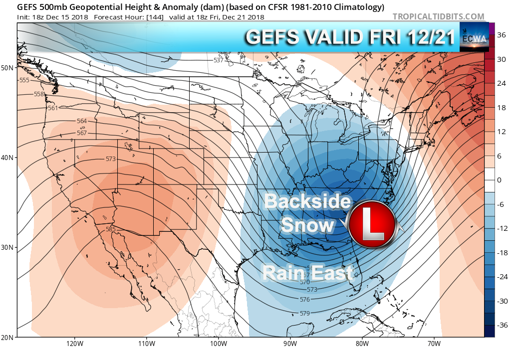
Some pages may indicate snow for the piedmont, however we are not sold on that yet. But for the Southeast, we can expect more showers and thunderstorms and mountain snow, all in one later this week. Temperatures for frozen precip types are looking better for the mountains as colder air moves in.
Everyone enjoy watching the next approach of our storm system!
-ECWA
You must be logged in to post a comment.