
Some changes to the pattern are coming, and they are looking significant. Around the 10th, a cold shot of air moves into southern Canada and into the northern US and into the Northeast. With this shot of cold air, snow will form as a result of lake effect and mountain-enhanced snow. As the cold northwesterly winds cause lake-effect snow, flurries and snow showers are possible anywhere over PA or downwind from the lakes.
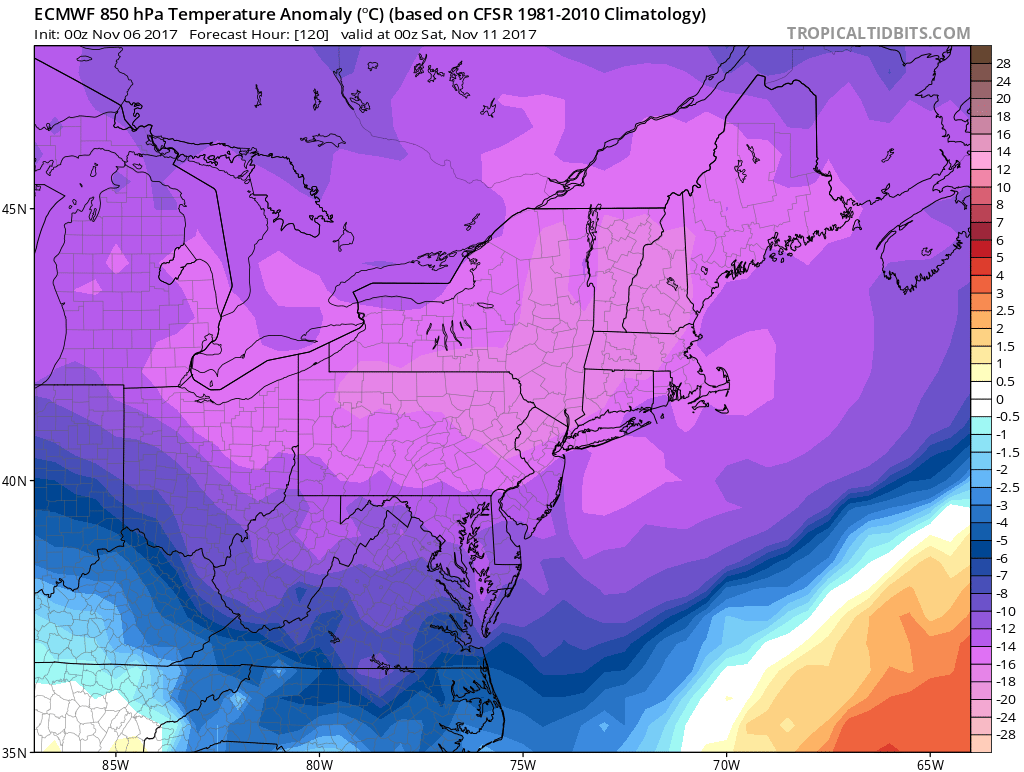
Here are the EURO temperature departure from normal images:
That’s some nasty cold for this time of year for around the 10th-11th.
With this cold will come increased chances for the white stuff. Locations that will be more likely to receive snow will be in the mountains of PA and the NE. Also other places to the south and west.
Canadian CMC model for snow:
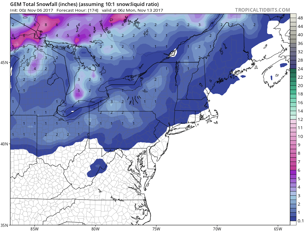
What I would call this would be a dusting in many spots. Not even an inch. But the flakes will be flying and it will be pretty. Here’s the GFS:
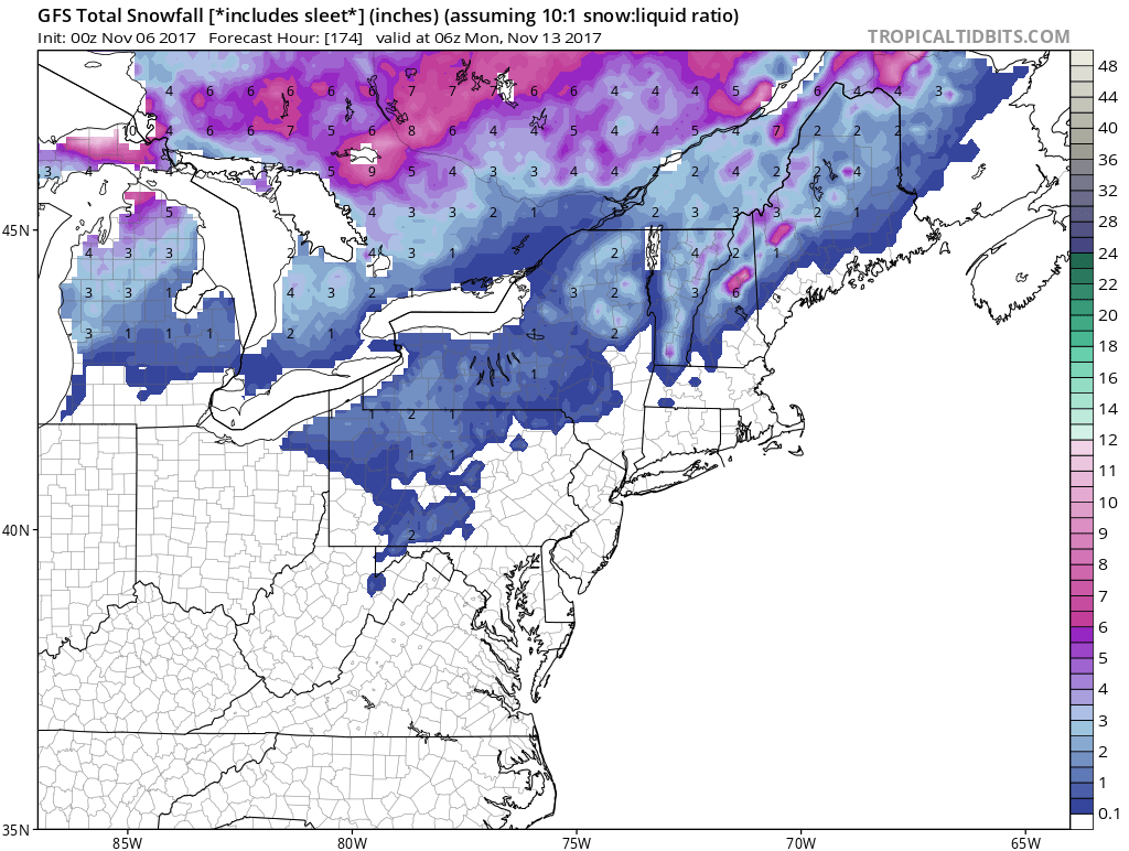
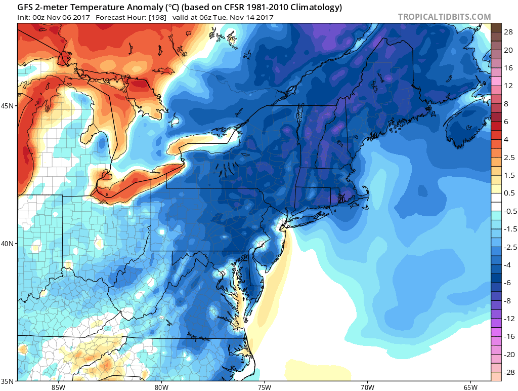
Again, showing mainly mountain snows. We also see yet ANOTHER pronounced cold shot around the 14th. That would be a reinforcing shot of some chilly air. GFS for the 14th:
So, the call is cold and snowy for the Northeast mountains. That is a sure bet out of this next upcoming cold shot. When there is Lake Effect, there is usually wind. So it might be windy and cold with this next blast.
Thanks for stopping by!
Mike
You must be logged in to post a comment.