
OCTOBER 2019 TEMPERATURE AND PRECIPITATION OVERALL OUTLOOK
As we head into the month of October, there is not question that it will be hot, and in some locations, especially in the Southeast, record-breaking heat. The end of September into the first week of October could feature low to mid 90s for daytime highs, and could continue up until this coming weekend.
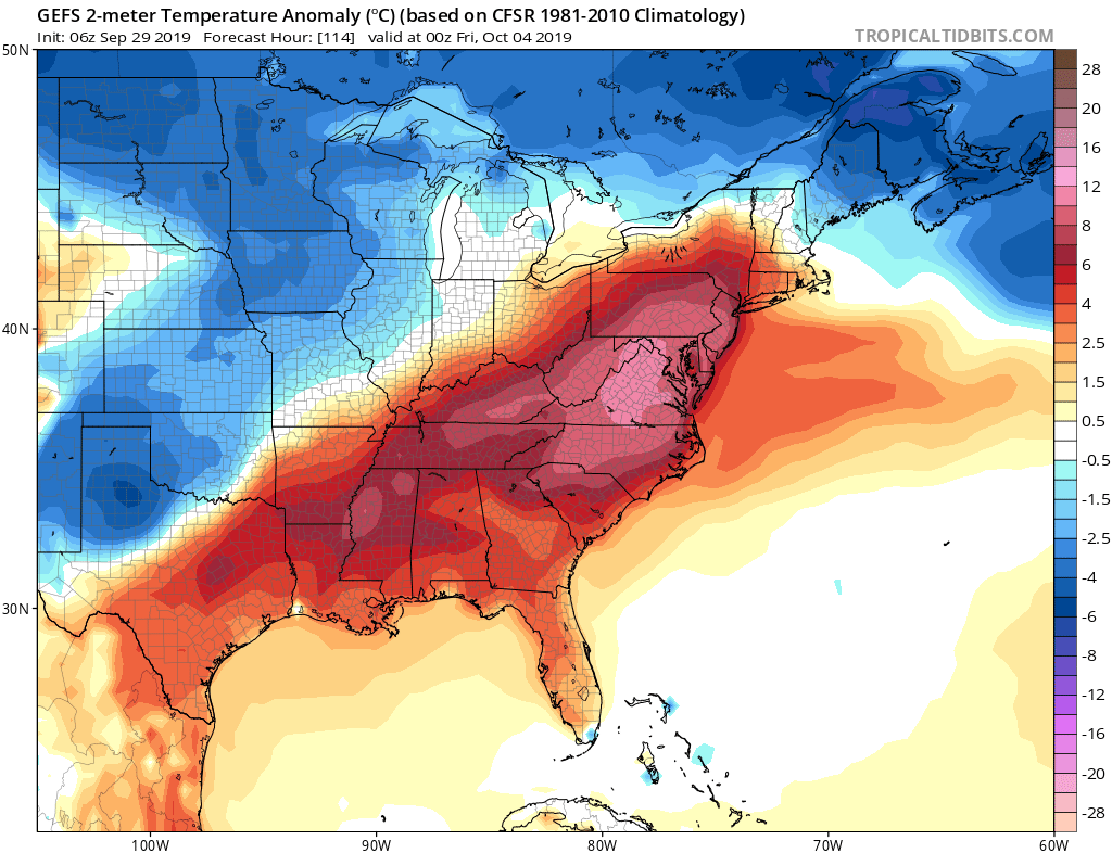
The GEFS ensembles have been consistent on a hot week ahead, and then a cold front later this week late Friday into Saturday. Until then we can expect more hazy, hot and humid conditions with more record-breaking highs. However, relief is on the way this weekend, as a fall airmass will finally arrive. Morning lows on Saturday could be in the 40s to 50s. Hit the share button below if you want this relief!

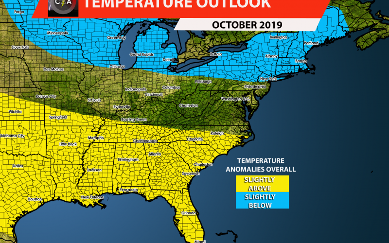
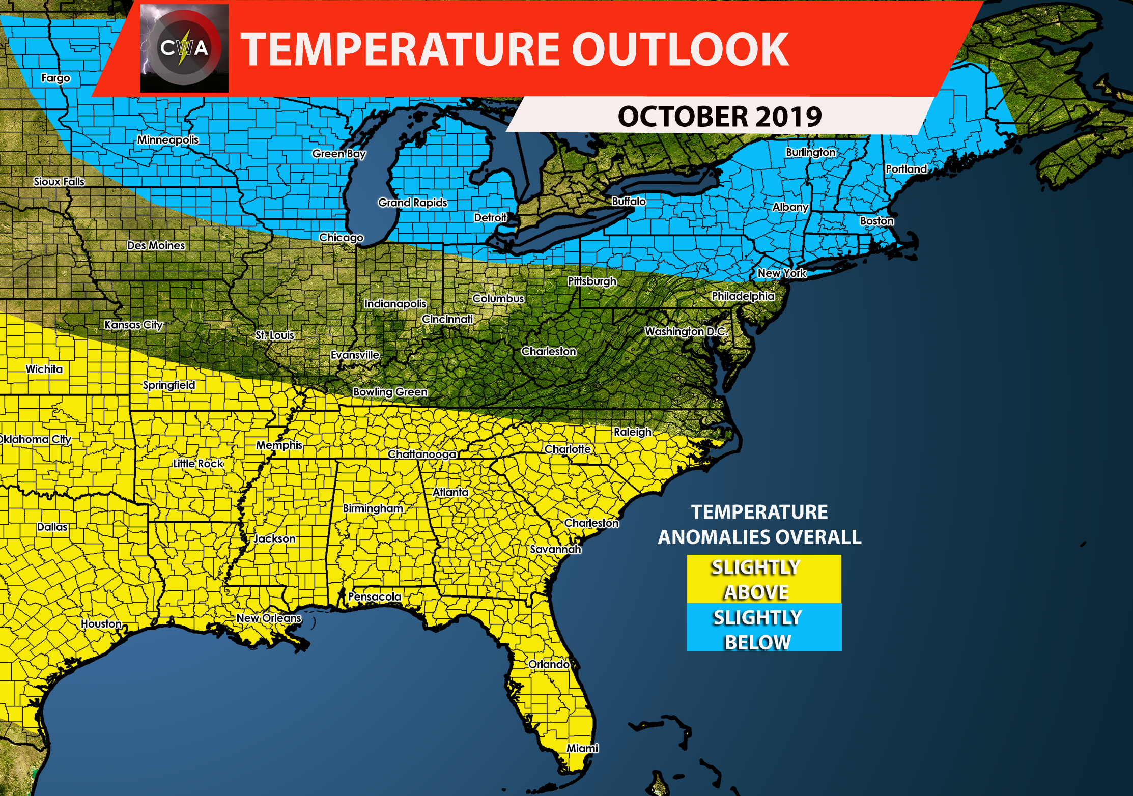
The relief may not last long as we see signs of a temperature rebound through mid-month. Temperatures will be back to above average, however we are not expecting the crazy mid-90s heatwave like we are having now. But temperatures could creep back into the upper 80s. Realistically, some days could be very pleasant outdoors, especially for pumpkin picking and fall festivals. Due to the initial cold shot at the beginning of the month, and the warm temperatures returning into mid-month, we are forecasting overall average to slightly above normal temperatures for Virginia and the Carolinas for the month of October. We are seeing signs of continued warmth into late October, so that confidence is low as of now. But zonal flow between troughing and ridging means that we could continue to see average to slightly above average into late-month. Below is our temperature outlook for October:
What about precipitation? The fortunate news is that we should go from dry conditions to average conditions, so we will start to get some rain in areas that need it the most. However the rain will be spotty in nature and will not be soaking. Thus the drought is expected to continue especially in western NC, SC, and VA. This drought will also extend all the way into the Deep South. Any farms in the brown or dark brown areas will continue to suffer. Although this is good news for Houston, as they could use drying-out from the recent flooding from a tropical storm.

So, it will be hot to start the month and then we cool down into a fall pattern this weekend, and then we slowly start to warm up again, with overall average to dry conditions through the rest of the month.
We will update you as things change! If you liked this outlook, please share using the buttons below!
CWA
You must be logged in to post a comment.