
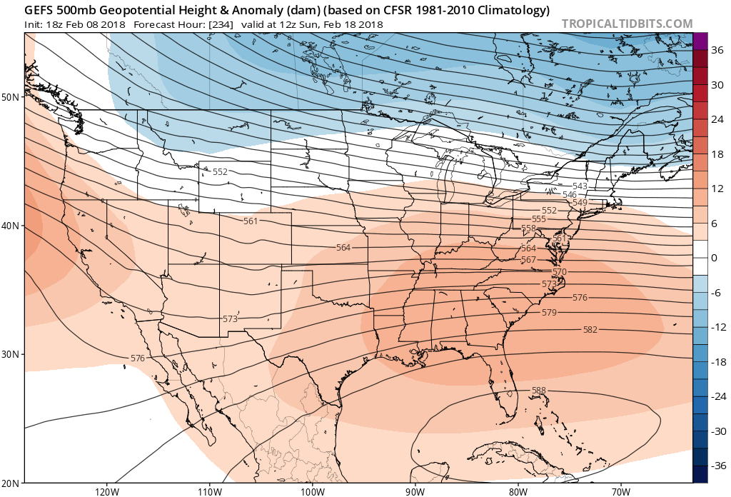
Hey members! I wanted to drop by and post some ensembles and also some thoughts on the upcoming pattern for the rest of February. What can we expect as far as temperature trends? Well, at least through mid-month, we are looking at above normal. A pattern where warm Gulf air will move into the Southeast will remain in effect through mid-month.
GEFS Ensembles showing not much energy to work with, plus a huge upper-level ridge over the Gulf and Caribbean. Must be some nice weather down there into mid-Feb. Cuba will think it’s summer time.
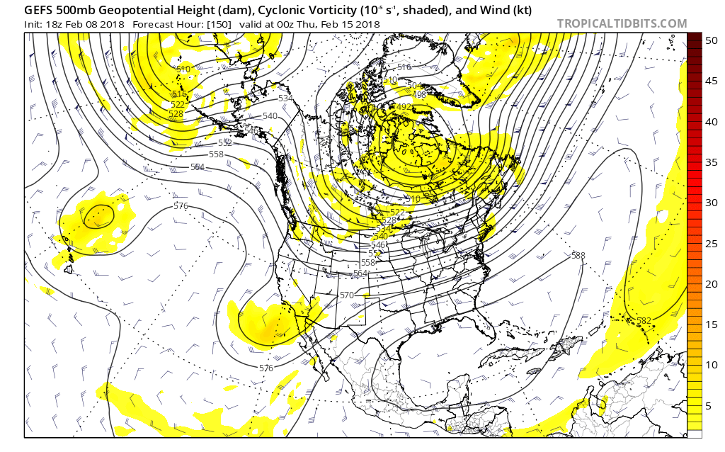
However, here in the Southeast, things will not be as extreme. Will will experience at least another 2 weeks of seasonable temperatures up north, but above normal temperatures across the Southeast. The one good thing is, at least it will rain, and we could use it.
But into the 18th, the southeast ridge tries to sneak it’s way back in. Miami will be having a bit of a heatwave in the coming weeks. This does spill over into the Southeast. Other pages may refer to this as “a blowtorch.”
Model image credit: Tropical Tidbits….model image
The European also has a very “flat” pattern for Valentine’s Day this year. That ridge down in the Gulf will keep us warm and wet. But for some who haved lived in the Southeast most of their lives, this is nothing new. Enjoy it, I went out for a walk today. Because it’s what’s happening at least through Valentine’s Day.
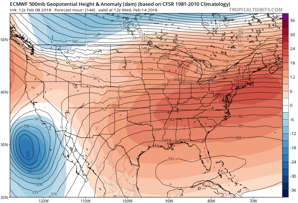
Therefore, any storm system that moves through the Southeast from now until at least Valentine’s Day, will be all rain. Again, we need it. So make sure your windshield wipers work good and check for burned out headlights.
-Mike G.
You must be logged in to post a comment.