
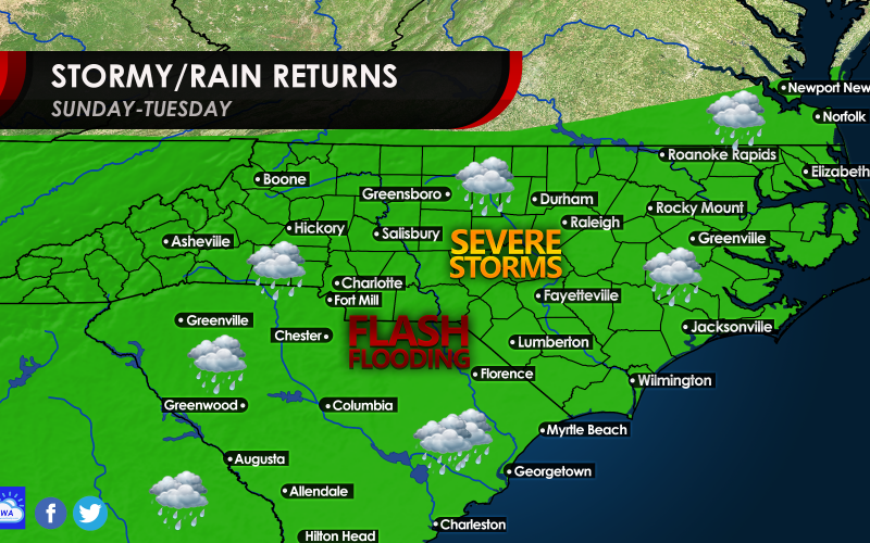
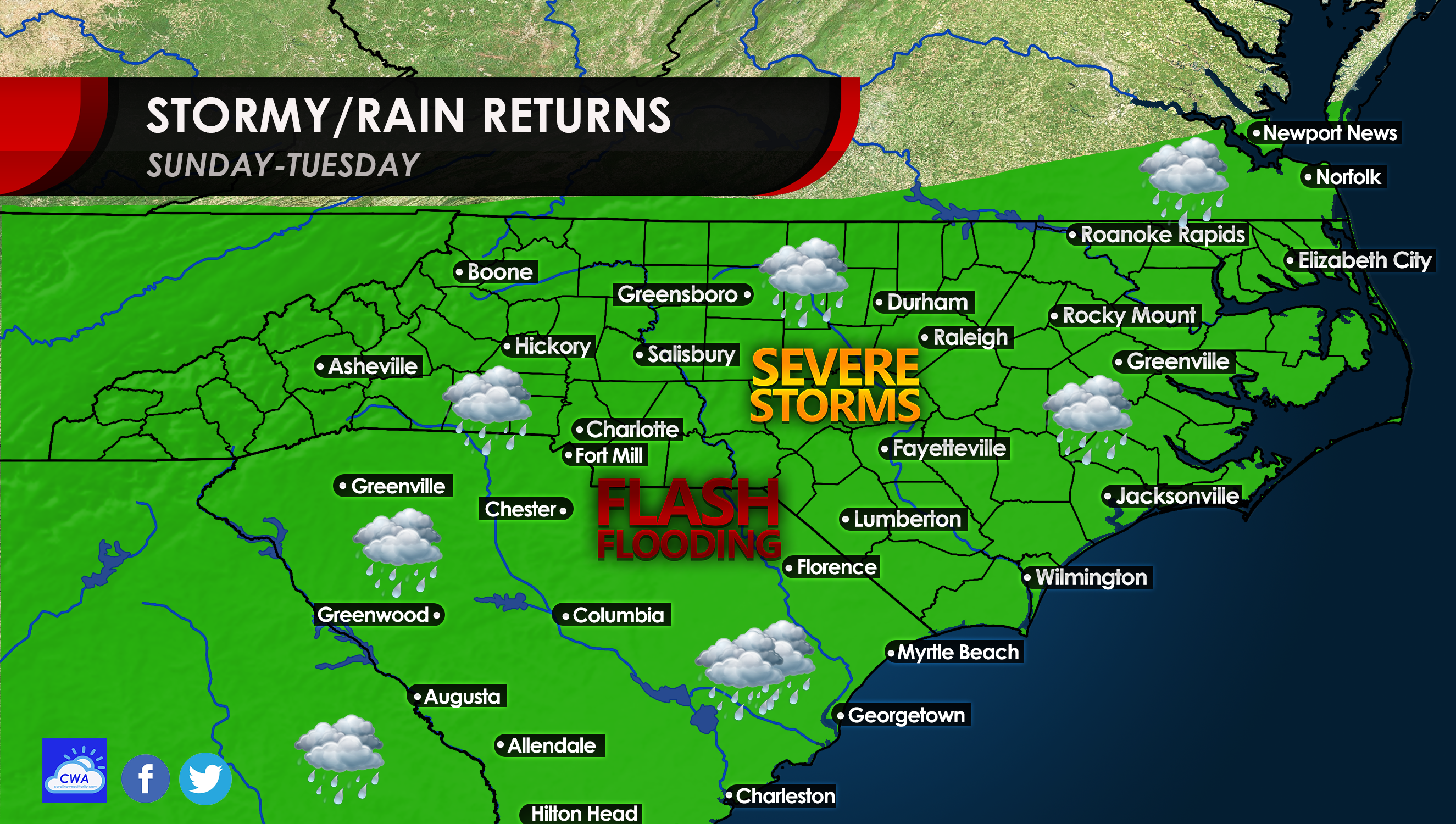
These next few days will not be the best for being at the pool or beach, but of course it could be sunny at the beach still with rain inland. From now into Tuesday we can expect off-and-on showers and thunderstorms. The main threats will include flash flooding and some isolated severe storms. The severe storms will be out ahead of any approaching rain, and could bring damaging winds and even an isolated tornado. Otherwise, most storms will just carry the flash flooding threat.
This pattern is expected to last at least into Tuesday, and the heavy rain and severe risk lasts until then. Late on Thursday there could be severe storms across parts of SC and eastern NC.
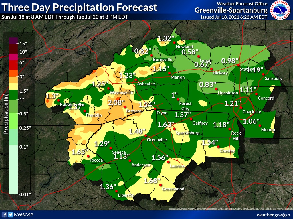
Below is the official 3-day rain total forecast for the western Carolinas including Charlotte. If you are headed into work Monday or Tuesday, be sure to check the radar and give yourself time in case there are accidents or extra traffic. Use HEADLIGHTS when it’s raining to increase your safety and the safety of others.
For the rest of the Carolinas. the flash flooding that will be higher along the coast. This includes Wilmington, Myrtle Beach, Charleston, Hilton Head, and Savannah. And my mom in Florence, if she’s reading this. See the below informational graphic from the NWS.

Plan for rain for the next two days, and perhaps find something to do indoors! Above all, safety first on the roads.
You must be logged in to post a comment.