
Good afternoon ECWA followers!
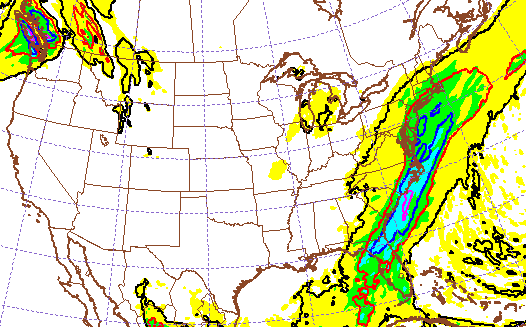
We are tracking a frontal boundary that will bring rain overnight into areas of Philadelphia, PA, and spread into the Northeast early Sunday morning. Temperatures today will run from low 50s to mid 50s in the area, please get out and enjoy the sunshine this afternoon!
As the frontal system passes through New England, and colder air moves into the region, the Southern New England coast line needs to pay attention to the forecast. Currently, there is a discrepancy in the ensemble forecasts, and the major weather models like the GFS/NAM/CMC. Ensembles continue to show a disturbance gaining enough energy Monday morning to bring snow into Southern New England, while the major models disagree.
GFS SREF
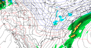

NWS is clearly following the ensembles, still calling for 1-3 inches of snow in Rhode Island and Southeastern MA for Monday. I wouldn’t be shocked at all if they decided to eventually reduce/back off these totals, snow doesn’t look all that promising at the current moment.
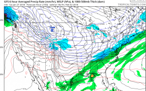
The next round of potential wintry precipitation is on Friday/Saturday. All of the major weather models are on board with a storm system moving through, however, the rain/snow line will be much discussed over the next few days. It looks like our friends in Philadelphia and Pittsburgh could receive snow from this, potentially into New England. As it stands now, GFS has a colder solution with more snow, while CMC has a warmer solution, with rain into Southern New England.
18Z Friday GFS 06Z Saturday CMC
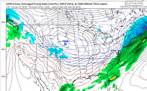
The forecasts will become more clear as we get closer. Snowfall could be a few inches in the Northest if the cold air remains intact! GFS brings snow into WV, extreme western edges of Virginia and North Carolina. (CMC doesnt agree, however) Typically, these specifics can be accurately forecasted as you get within 72 hours of the storm system heading into the area.
We will continue to monitor the situation for you at ECWA! Continue to like, comment, and share o ur Facebook posts!
—Lavoie
You must be logged in to post a comment.