
We are at the peak of hurricane season, and the Atlantic is not quiet. While Invest 95L is not expected to develop into a monster, it could impact the Gulf Coast States in the coming week. The large ridge of high pressure that is causing our heatwave here in the Southeast will suppress any tropical activity to our south.
The latest NHC 5-day tropical outlook is also available on our models page ~~~> https://carolinawxauthority.com/models
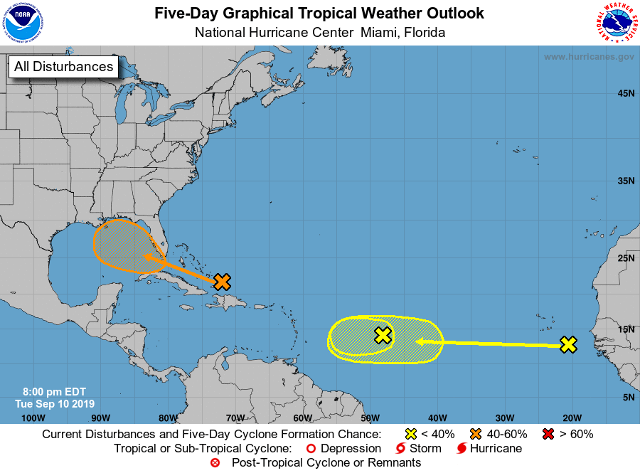
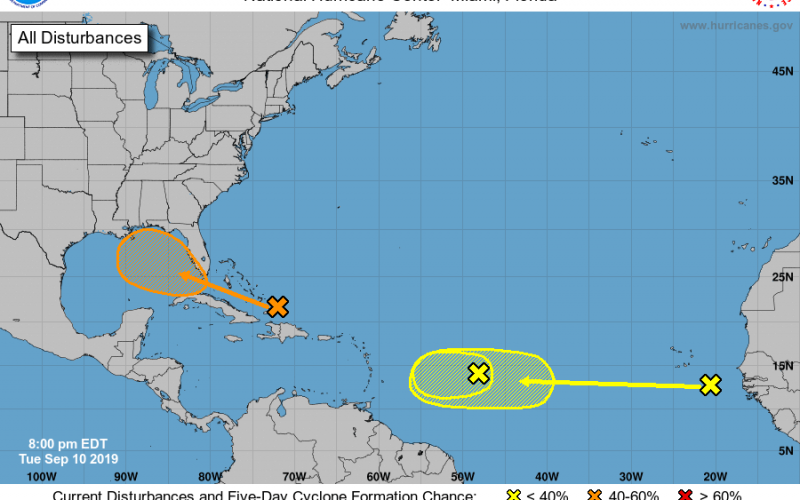
The area in the orange is not expected to have any direct impacts to the Carolinas, other than leftover rain and/or storms if the remnants drift northeast. The other two waves in the yellow may need to be watched, since they can have a higher chance for development in the coming days. This is an area of the Atlantic to watch, since if they form early they can spin up and get going before they head west.
Latest model tracks for Invest 95L are across South Florida and into the Gulf. Some models have it hitting the FL Panhandle, other maybe a bit more west. We will check on the Euro in the coming days, since it did well with handling Dorian along the NC coast. Also, the same cluster of models as shown below handled Dorian well.
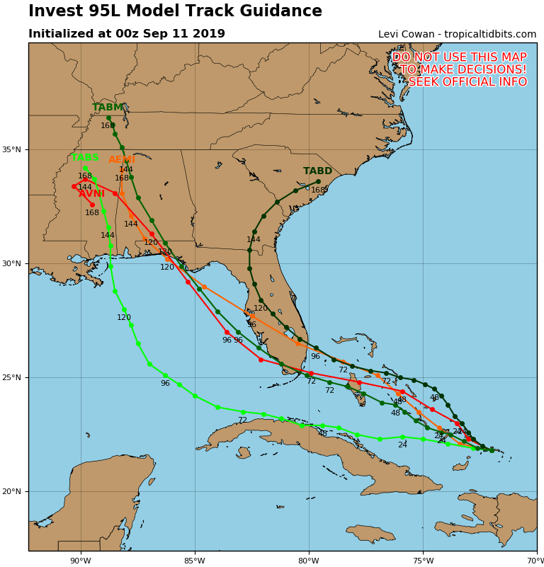
We will see if Invest 95L becomes a depression or tropical storm once it enters the Gulf over the next week or so. Keep it right here at Carolina Weather Authority!
You must be logged in to post a comment.