
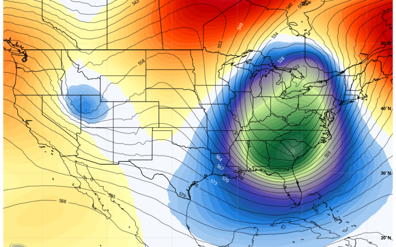
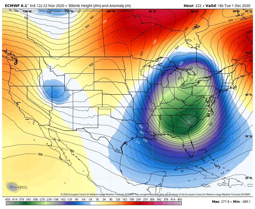
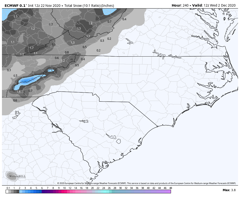
While we are calling for a below-normal snowfall winter, it appears that Mother Nature may be throwing us a curveball before winter even starts. For the prior few season, there has been years with an early December snow. So this could be part of the “new” pattern. Taking a look at the latest run of the Euro, there is some kind of “bowling ball” that will roll across the southern US around the end of November, and it could pick up energy into December 1st as it rolls across the Southeast. What does this mean for our coverage area? It likely means below normal temperatures and rain, however we are not ruling out snow for the mountains.
As of now, it looks like the mountains are the only location that could see flakes. Outside of the mountains will likely be all rain, but it’s still too early to tell. This potential storms system won’t take shape until the end of this month, so there will be lots of details that will have to be ironed out. For now, it could change but many of us across the Carolinas can expect a cold rain from this system.
This is our latest trend that we are watching, and also the potential of severe storms on or around Thanksgiving Day. We will have an update on that also. Please like and share our articles!
You must be logged in to post a comment.