
Strong Storm System to Impact East Coast Early to Mid Week
For those of you that love cold and rainy, you will be delighted this week. For those of you who wish that spring would arrive, to your surprise, it is actually here. During spring, we should expect wild swings in temperatures and rainy conditions as well as bright and sunny (warm) days. But this just not has been the case this year.
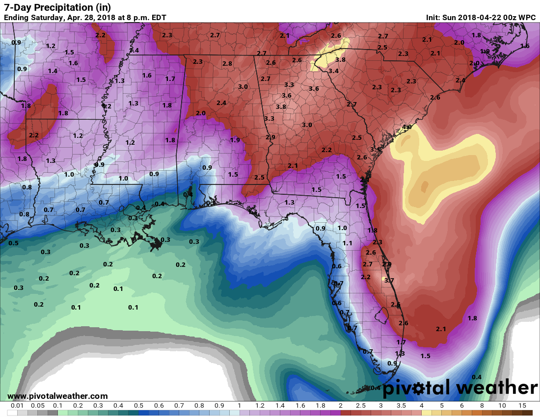
Looking ahead to Monday many of us here in the Southeast will experience rain, some of it heavy at times. Total amounts are shown below all the way up to next Saturday, but a bulk of this will fall in the early week.
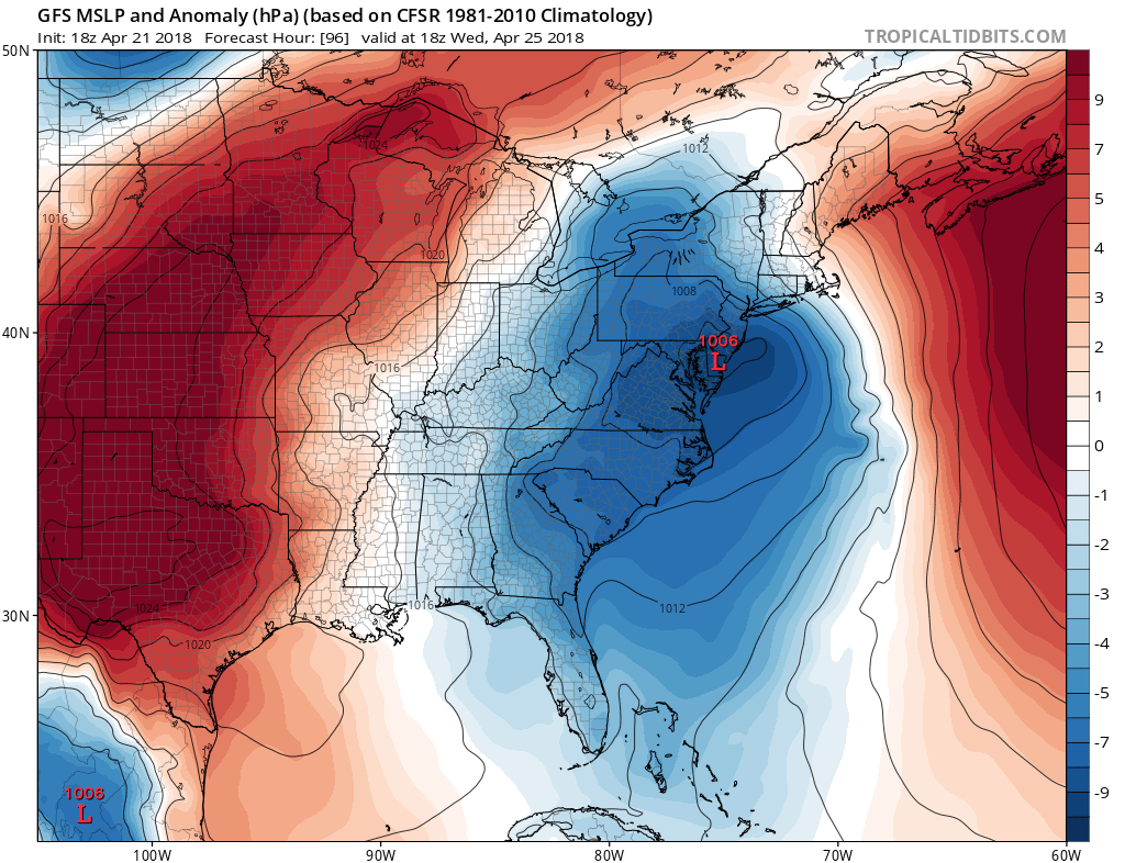
With this rain comes the threat for some isolated severe storms, so we should not let our guard down. We should watch for any tornado warnings that are issued and take action as necessary. Towards mid-week, the storm system moves north into the Mid Atlantic, and brings wet weather to locations such as DC, Philly, and New York.

The wet conditions are expected to lift out of the Mid-Atlantic by Thursday. But for the Southeast, another round of showers is possible. Stay tuned right here as we will be posting additional updates during this active late-April pattern!
If you would like to subscribe to our detailed, personalized email updates for 5.00 a month >>> https://carolinawxauthority.com/subscription-options
-Mike G
You must be logged in to post a comment.