
It seems like we have been kicking the can as far as snow and cold this winter. And if the only major snow the South has received was back in early December, then we guess this winter was a dud. It has been thus far other than that one event.
NOAA CPC’s outlook is not too bullish on any long-lasting deep cold for the Southeast into the 23rd. Up until then, it is looking warm as well.

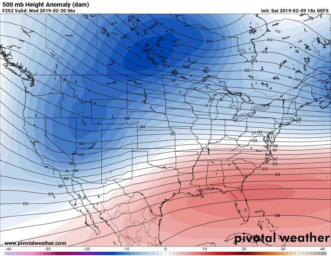
The overall pattern in the ensembles is a flat ridge for the Southeast, which indicates any storms will cut to our west and keep us in the warm sector. All the action this month is is the Pacific Northwest, where Seattle is having one of their snowiest Februaries in 70 years (WeatherNation). This could mean an early season severe weather outbreak at some point during this month.
If things change, we will be the first to let you know here at ECWA. For now, enjoy the not-so-steep heating bills in the Southeast!
You must be logged in to post a comment.