
As we near the end of August, we are entering the peak of the season for tropical activity as we kick off September. Fortunately for those along the Carolina coasts, neither of these disturbances are a direct threat.
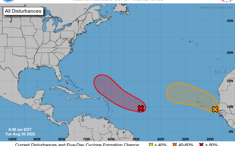
The red area below still stands as a 80% chance of formation later this week, possibly into a tropical depression or even tropical storm, at most.
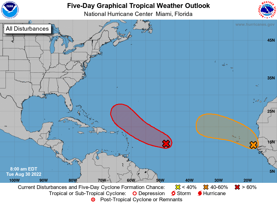
The orange area coming off of Africa has a 40% medium chance, however environmental conditions are not conducive to any additional development.
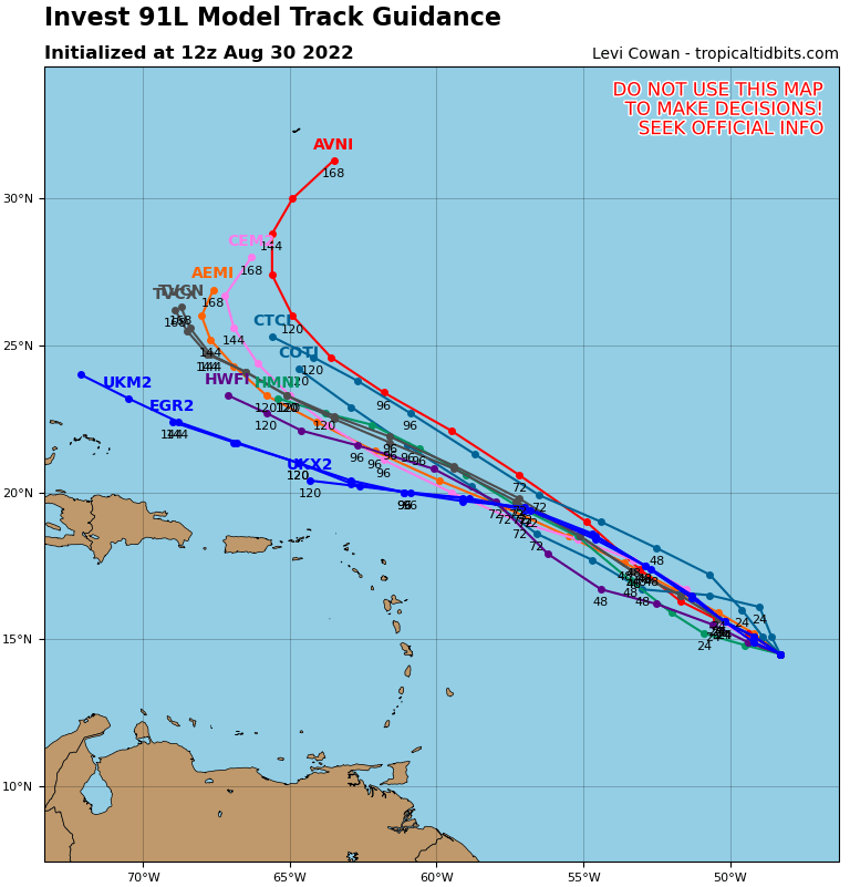
The red area has models showing a turn out to sea later this week or over the weekend, if it even develops into anything. Most model tracks indicate this below.
Currently there is no threat to the Carolinas for tropical systems this week and over the Labor Day Weekend upcoming.
Closer to home: The usual shower and thunderstorm activity later in the day. Hot and humid with highs in the upper 80s and low 90s. A cold front will approach from the northwest, and will increase our thunderstorm chances here in the Carolinas throughout today. The storm chances will be around everyday up until Thursday. Charleston will not see any relief from the flooding at least until later this week, if not the weekend.
Only on Thursday it could be cooler, as the front will just barely clear our area.
All for now, enjoy your day!
You must be logged in to post a comment.