
Hey members! I apologize for not updating in a while, but we are going to give you EVERY detail that we can about the upcoming pattern change and what we can expect after the pronounced warmth. In short, the answer is yes, and there is a chance it will snow again. However, the actual chances for snow are more likely farther north into the Northeast, but we are not ruling out flakes across the South, just mainly cold.
Let’s get down to it. The upper-ridge of high pressure will stick around until the 28th, and yes, it will generally be warm. So get out and go to the park if you see the sun. Or spend the next week or so outside. GEFS ensembles shown are valid for Feb 28th:
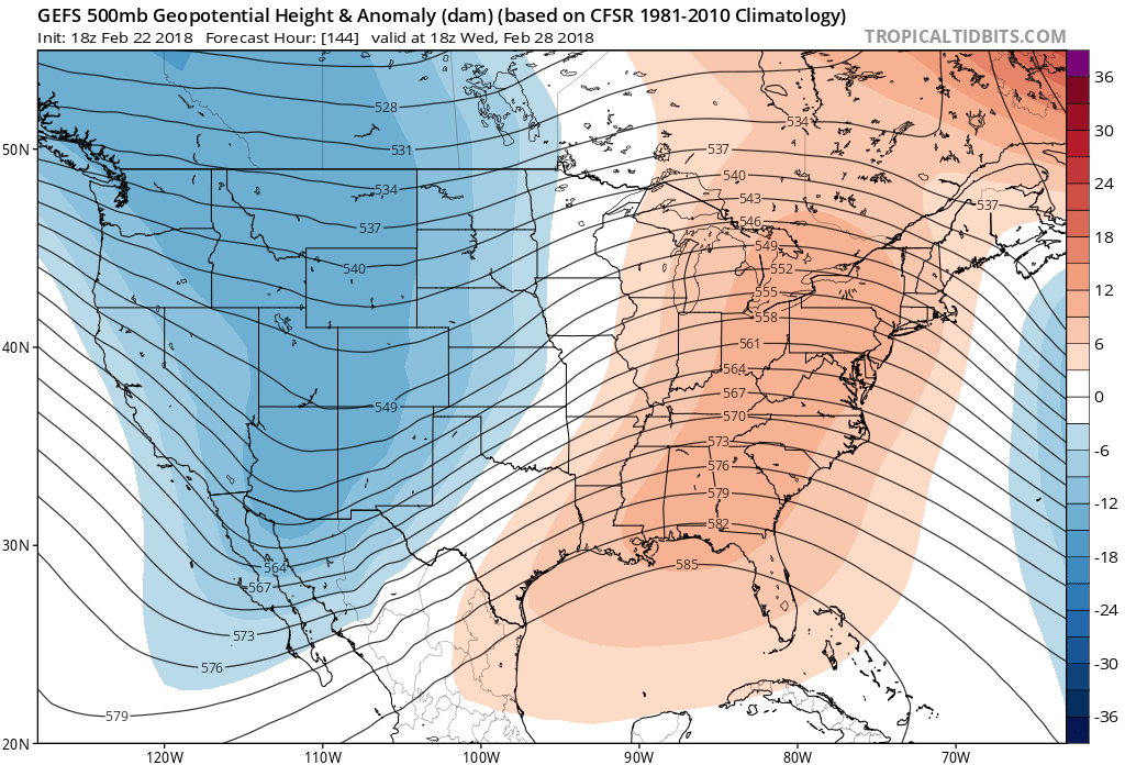
Notice how the upper-ridge is weakening. This is a sign that a change is coming. Notice the very cold air moving in out west (although keep in mind, this is 500 mb heights, and this just shows height anomalies and thus lower pressure overall). This cold air will eventually find it’s way east as the pattern showly shifts. Now the ensembles are showing some kind of trough over the Atlantic, and this could perhaps be too far east over the water for any type of coastal storm. Notice the positive height anomalies over northeast Canada. This is a “blocking” scenario setting up, which is favorable for East Coast snow and cold. Again, the trough may be too far east for any type of snowstorm. This is around March 3rd.
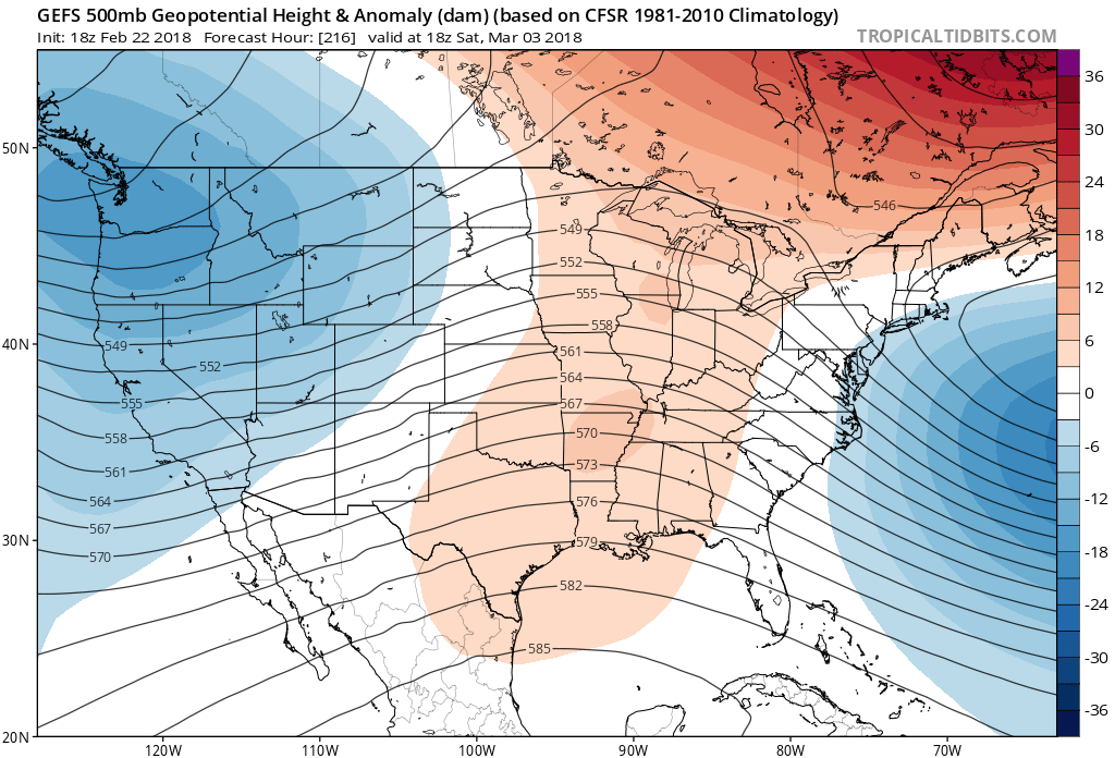
Now comes the fun part. It’s not until around the 7th or so until we can expect some kind of coastal storm. I do like the position of the deepest blue colors, since this signifies where a low will likely develop. It’s not certain where the exact position will be, which is critical to who gets snow or how much, and how cold it will be. But if this were true, NC and VA would be favored for some type of wintry precipitation.
Shown are the GEFS heights for around March 7th:
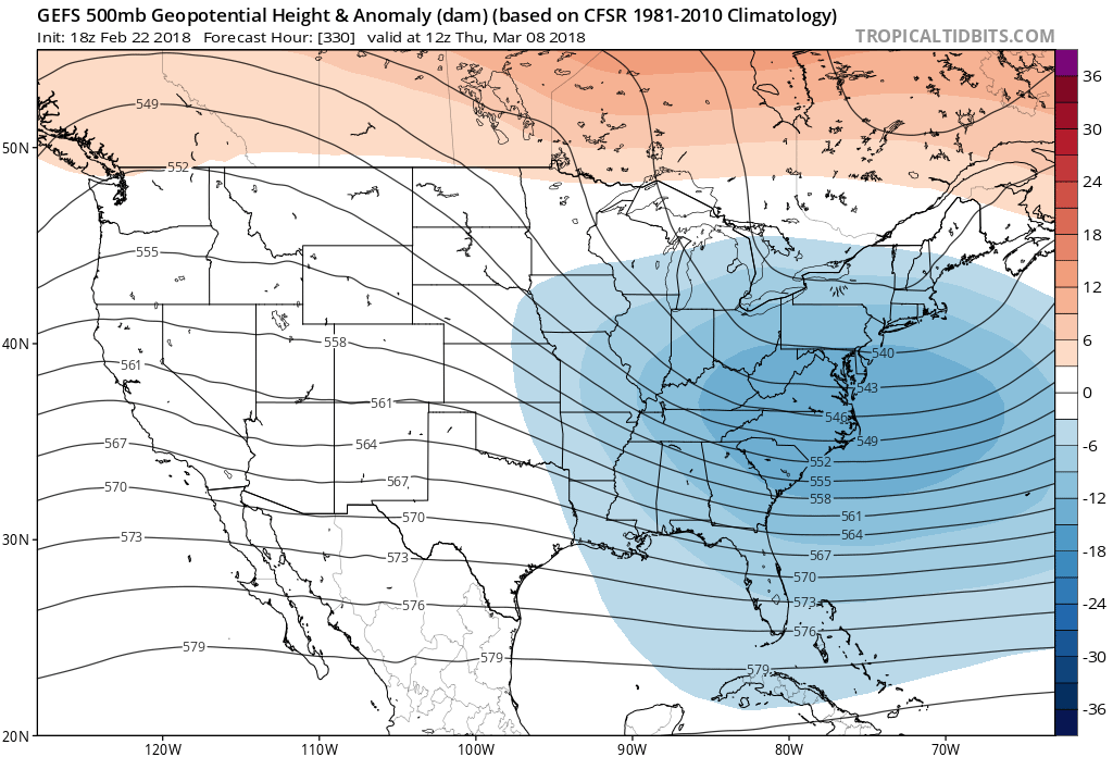
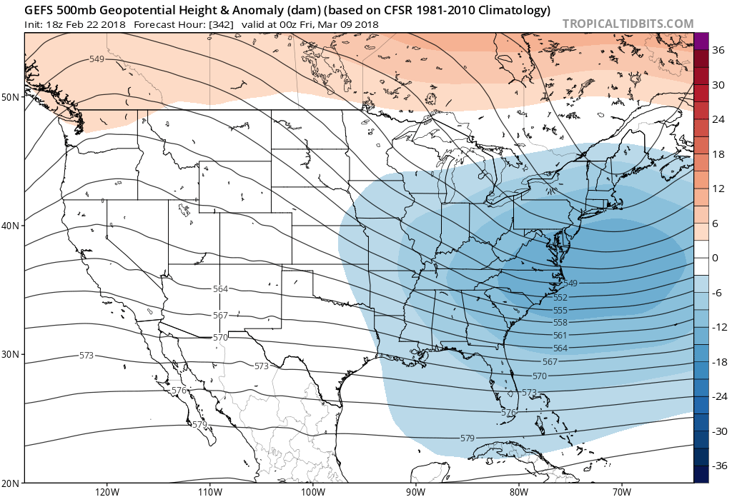
This trough associated with cold continues all the way into March 9th!
Where does the GFS think the snow will fall? It has snow limited to the mountains. As of now, the model is not seeing any snow for any part of the Southeast. even southeast PA and MD, VA are brown after this early March event. It looks like the jackpot will be out in the Midwest, with potential blizzard conditions.
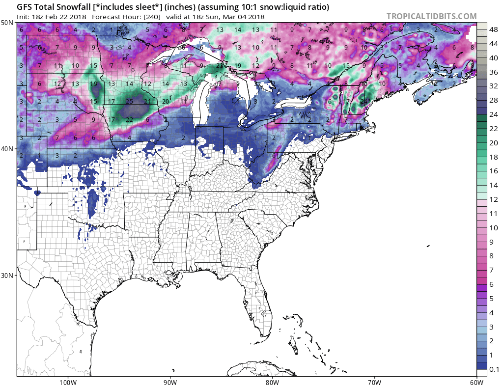
I hope you are now informed about what all the talk is about early March. You now know and can tell your friends what the inside scoop is. As of now, snow does not look likely across the South, but it will turn cold one last time.
Stay tuned for more members updates!
-Mike G.
You must be logged in to post a comment.