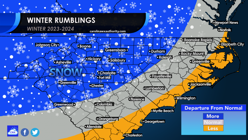
Yes, we are in an El Nino pattern as we head into the winter months. What does this mean? It means more than usual amounts of precipitation for the Southeast. While the entire Southeast will get above normal precip, the interior Southeast could get snow where it’s cold enough.

The only catch with this is could it be just above normal rain for everyone? That would mean less snow this winter but still wet. But the good news is, for those that want snow, you first need a moisture source. And that looks to be in place this winter with the El Nino pattern.
Now the only thing is to get cold air timed to set up during a southeast coastal or Gulf low. That would make this winter potentially magical. It’s been a while since 2009-10, and that pattern might be coming back to revisit in some fashion.
So we will see how much snow we can squeeze out of an active storm pattern this winter. It should be active with low pressure storms, but again can we get the cold air is the question.
At least it won’t be dry, that is what makes for the boring winters when it’s dry, even if it’s cold, since there is no moisture source.


You must be logged in to post a comment.