
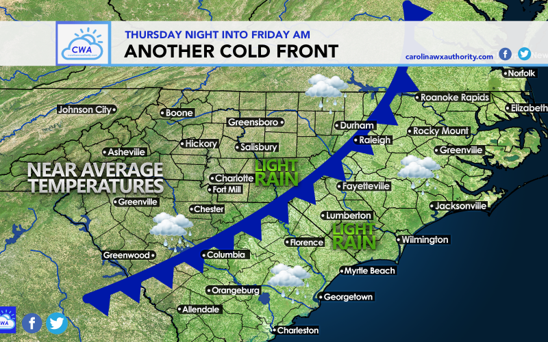
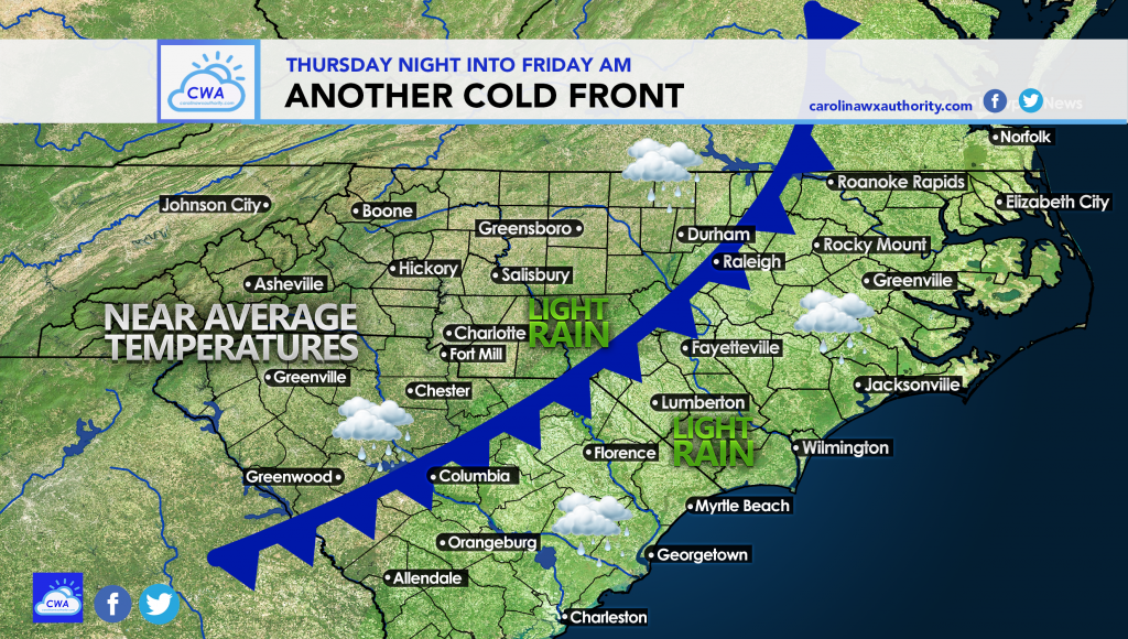
As we approach Thursday and Thursday night, the threat of rain will return. We are looking at another cold front moving through the Carolinas late Thursday into early Friday.
Saturday will be a nice day behind it, with typical October highs and lows for our area. There could be a brief passing shower ahead of the front, then breezy with gusty winds during the day Friday.
Below is our graphic for expected conditions. This cold front passage is not expected to be a big deal.
However, at the end of the month things could get interesting. A large-scale pattern shift is possible around the 30th, as we have mentioned in our long-range outlook article here >>> click to view article
The GEFS ensembles are hinting at high-latitude blocking over Greenland, shown in the red height anomalies below. This could mean that a storm or cold air could undercut the block, bringing below normal temperatures and storminess to our region.
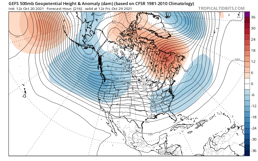
The Euro ensembles are much more fond of this, and have a trough over the entire East Coast. Therefore, this timeframe needs to be watched for a potential storm and cold.
The blue height anomalies below signal storminess and below average temperatures on the 30th.
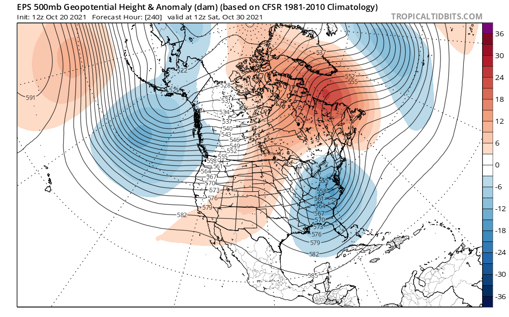
Confidence is still not high, but only medium at this point. However, long-range solutions are signaling some kind of below normal temperatures for the turn of the month.
You must be logged in to post a comment.