We may have some tropical moisture to contend with moving up from the Gulf, but that might not be until Wednesday. If a cold front makes it our way before the arrival of the humid tropical air, then we will feel like another fall morning on Thursday. We don’t anticipate anything more since there is the chance that humidity creeps north along the East Coast.
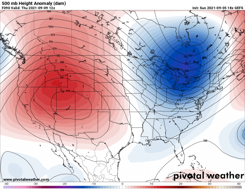
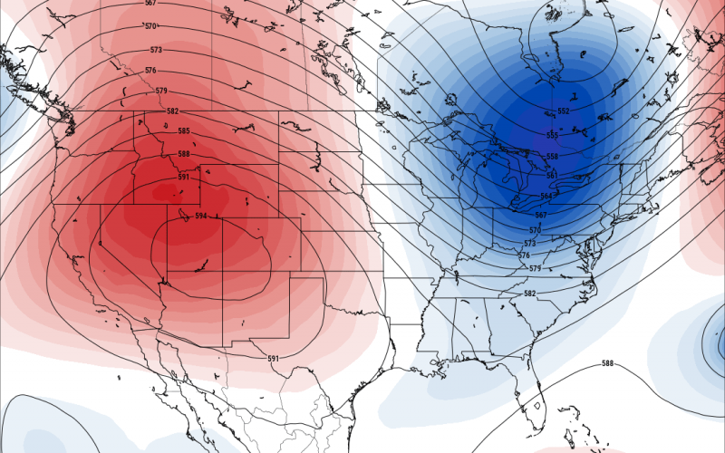
Below is the 500mb height anomaly on the GEFS ensemble mean, which shows a trough in blue over the eastern U.S on Thursday morning. This is what will bring us a shot of cooler air Thursday morning but it could also be Friday depending on the timing.

The only caveat with this is, the chance for just near normal temperatures to slightly below, and might only be a normal temperature for our location. Temperatures may not go below 60 F this time at night, however the chance for the 50s will be there this week. The timing of the front is tricky, so it may not feel cool out until Friday am instead.
After this shot of seasonal or early fall-like air, temperatures will quickly rebound, and the humidity will go up by the weekend with tropical moisture being pumped up the East Coast.
Any cool shots that we typically get in early September are short lived, as we are technically still in summer.
Enjoy the morning on Thursday or Friday, it looks rather nice.


You must be logged in to post a comment.