
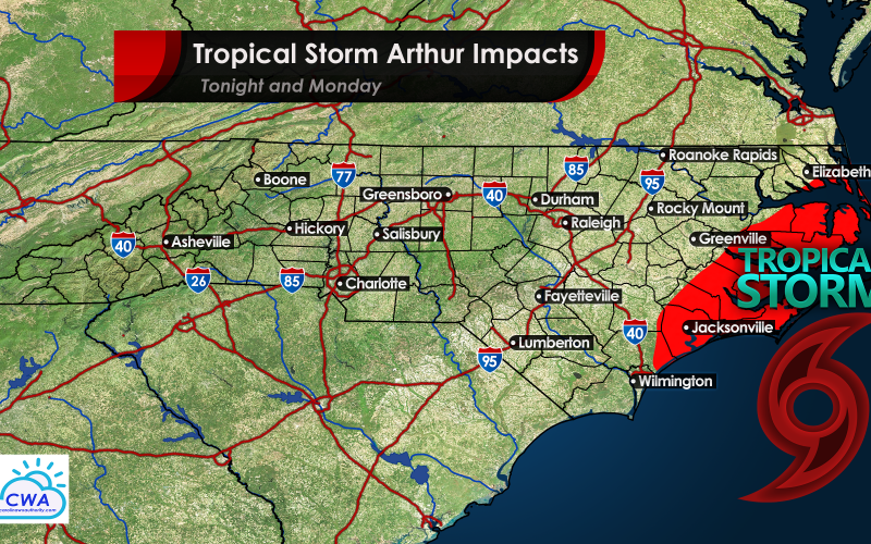
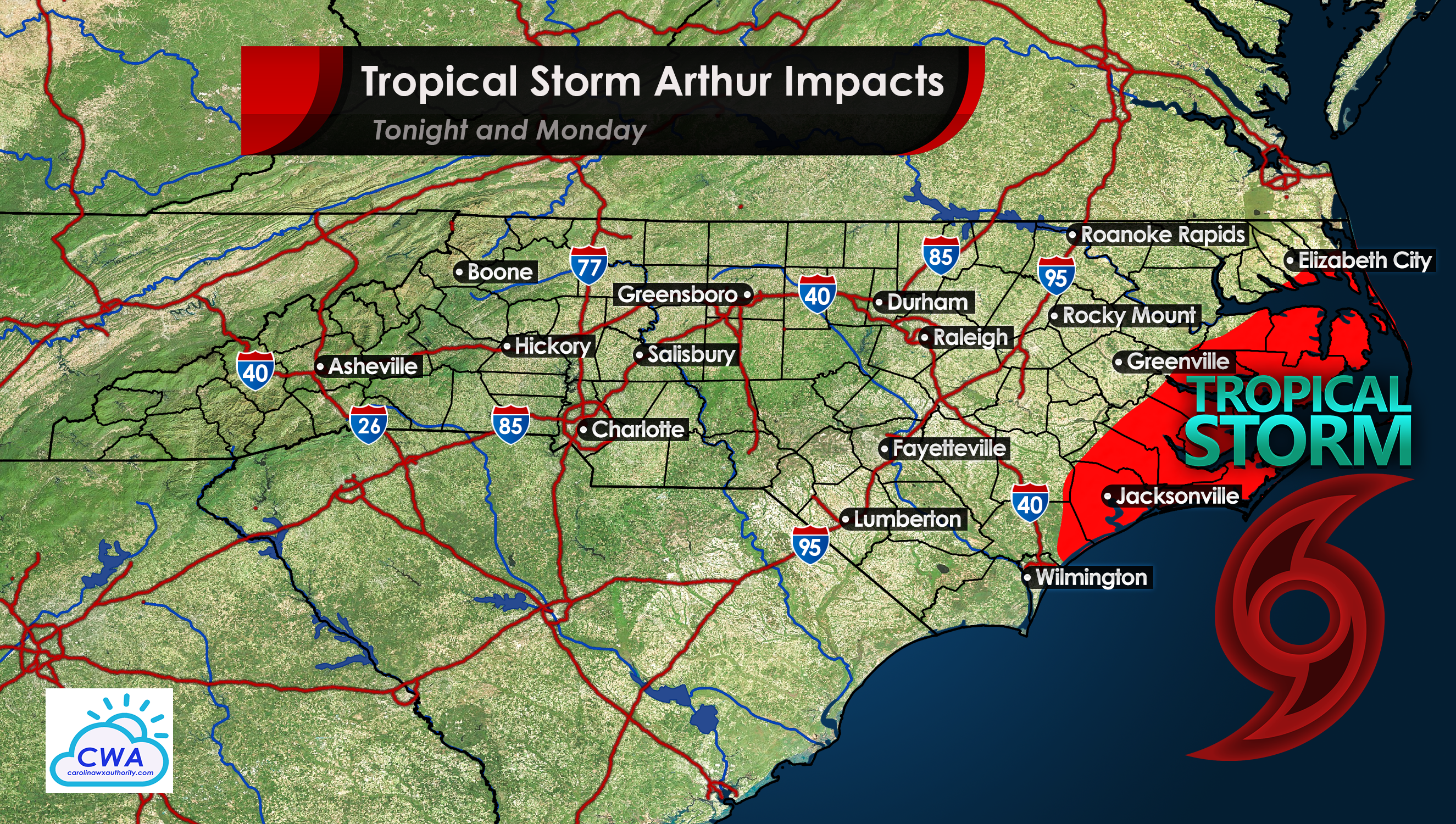
Our 2020 hurricane season is off to a busy start, as we already have Tropical Storm Arthur to contend with. Tonight, conditions will deteriorate for the Outer Banks and coastal NC, with winds picking up and rain moving in. Winds will be around 50 mph and could gust to 60 or 70 mph before moving away later Monday. Coastal flooding is likely especially during high tide. This is not expected to be an extremely strong tropical storm, and impacts are expected to be minimal other than scattered power outages. The Outer Banks are used to tropical systems, so this is really nothing new for them. There could be some over wash with waves spilling onto the roads. Therefore, travel is not advised to or from the Outer Banks tonight and Monday as conditions will turn somewhat dangerous. Hunker down for a day or so until this Tropical Storm Passes.
Current NHC advisory on Arthur as of 2pm on Sunday:

This storm is expected to brush the Outer Banks and then turn out to sea. Again, minimal impacts are expected. However, take all necessary precautions to stay safe, and consult your local NWS for official information.
-CWA
You must be logged in to post a comment.